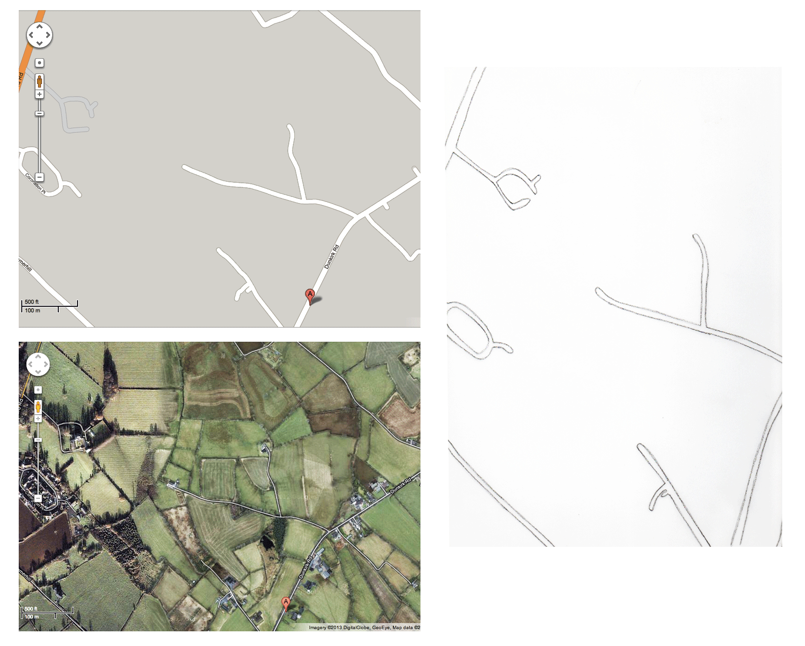
We have been working on collage maps today based on google maps and google satellite images of the places we live. The class had researched this in preparation for today’s session. We haven’t been able to link up via Elluminate so we have been using the phone and e-mails to exchange ideas and images. The process started with scaling the print out maps up to the size of the paper. The class did their test versions in their journals in order to get their heads around the idea.
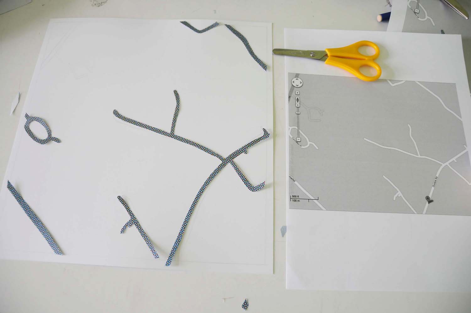
We selected paper from old billboard advertisements. I decided not to go for a realistic colour scheme but the children were keen to colour match and selected greens from their fold of paper. I cut out the road shapes but didn’t stick them down straight away.
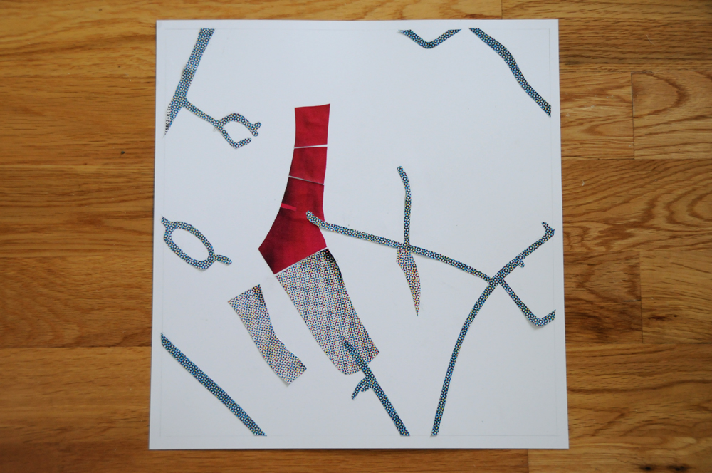
I added the my fields in red and some woods and copses using a different colour then started to glue the pieces down. The whole thing is very stylised and approximate but I like the lines. I am a little bit jealous of the green lines in the children’s work. It looks very clean and clear.
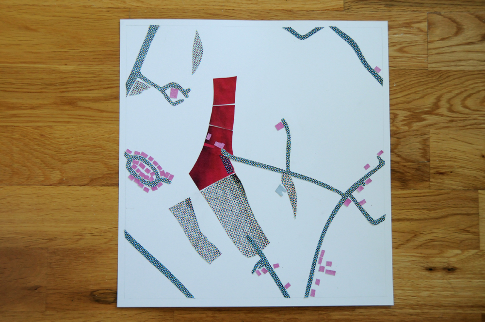
Finally I added buildings in pink to help them stand out. I haven’t seen the final work from the class. Some of them felt that it was a bit tricky and some of them were really enjoying the challenge. I have to admit that it was a bit fiddly but I think that the result is interesting.