This was our final session and Robin, (the digital artist with whom I had been collaborating to explore running / mapping ideas within my own work), accompanied me to the school. There was great excitement to see Robin and begin our session.
First of all we talked about the drawings of the shapes of the runs that were made on the previous session onto TRACING PAPER which when all of the drawings were put together were TRANSPARENT – creating layers of runs stacked one on top of the other. A record or a history of where the children had run…
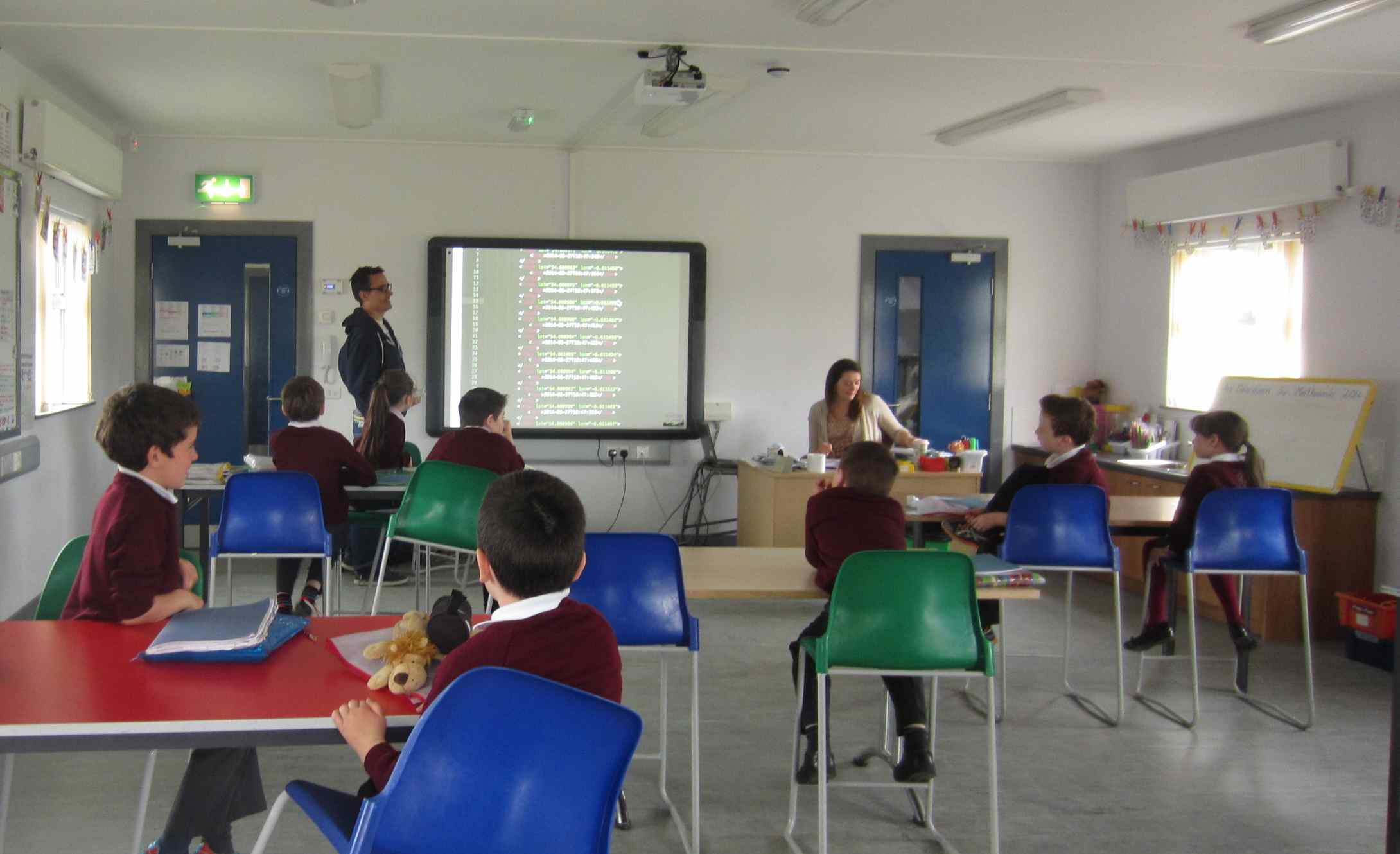
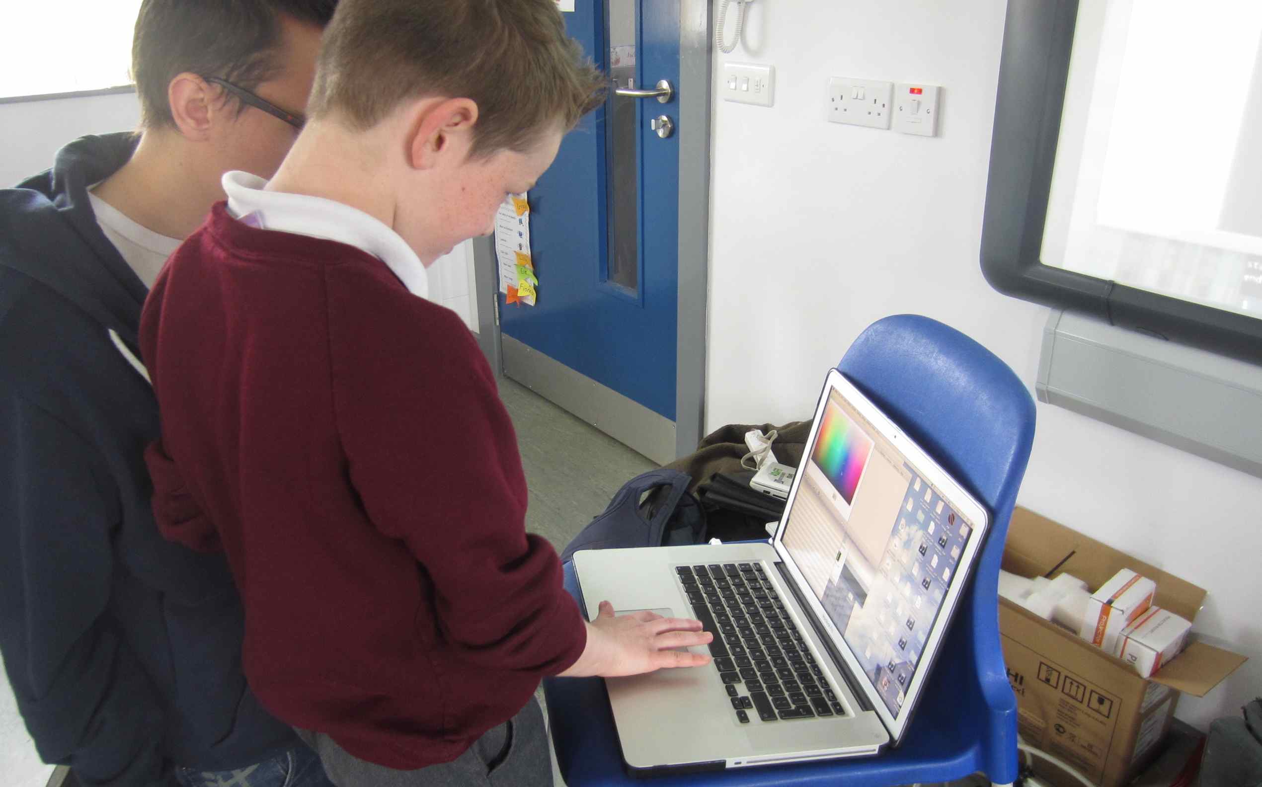
Now we were going to explore how else we could map our runs by using other information and devices. Robin explained to the children how we could use a Wii remote controller which detects movement made by the hand and feed this information (data) into a computer programme which can INTERPRET as a linear shape – like a drawing.
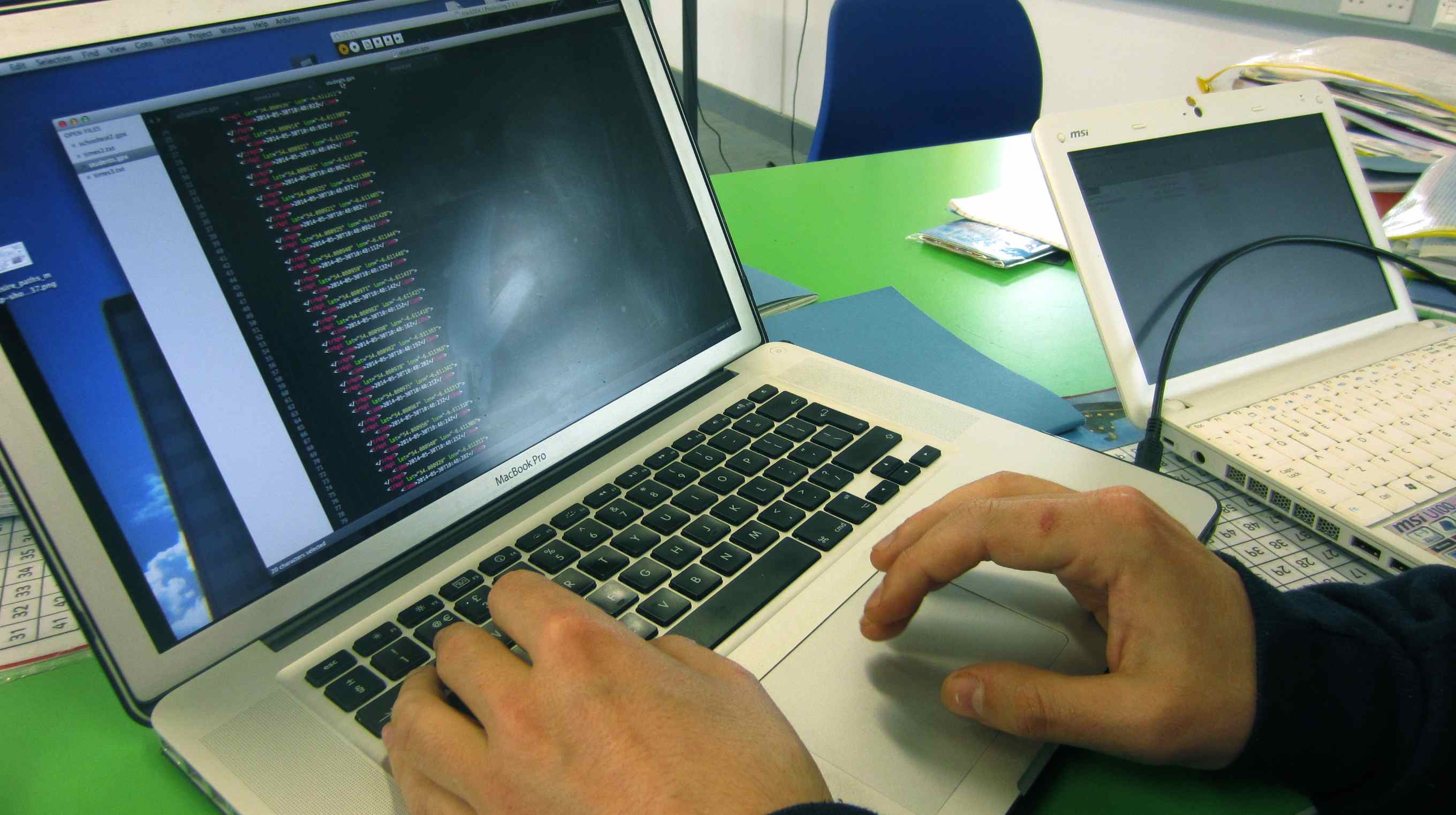
- The data appears as a series of numbers…

We discussed the idea of GRAPHS and how we can plot information using this. Then Robin talked of how the GPS tracker collected information about LOCATION anywhere on the surface of the earth. It used points recorded as numbers representing a position either LONGITUDE (points on lines from pole to pole on the earth) and LATITUDE (Those on points on the circles that run parallel to the equator). This was really interesting and could be a project all of its own!!
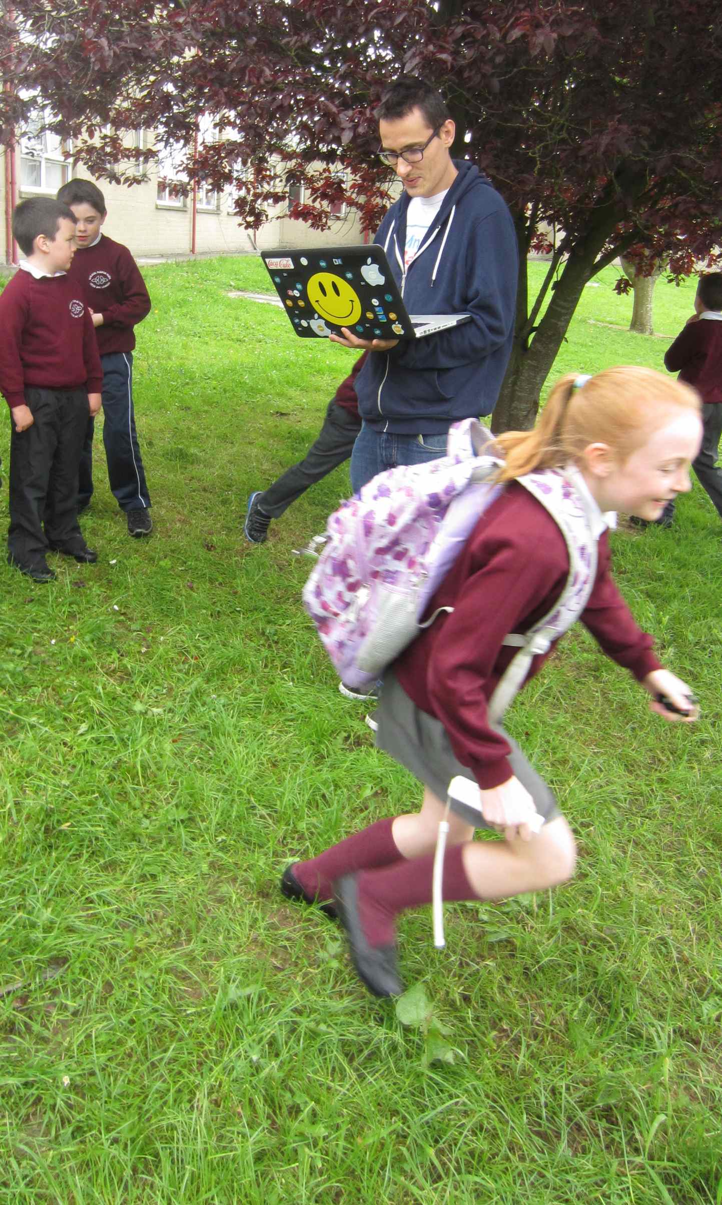
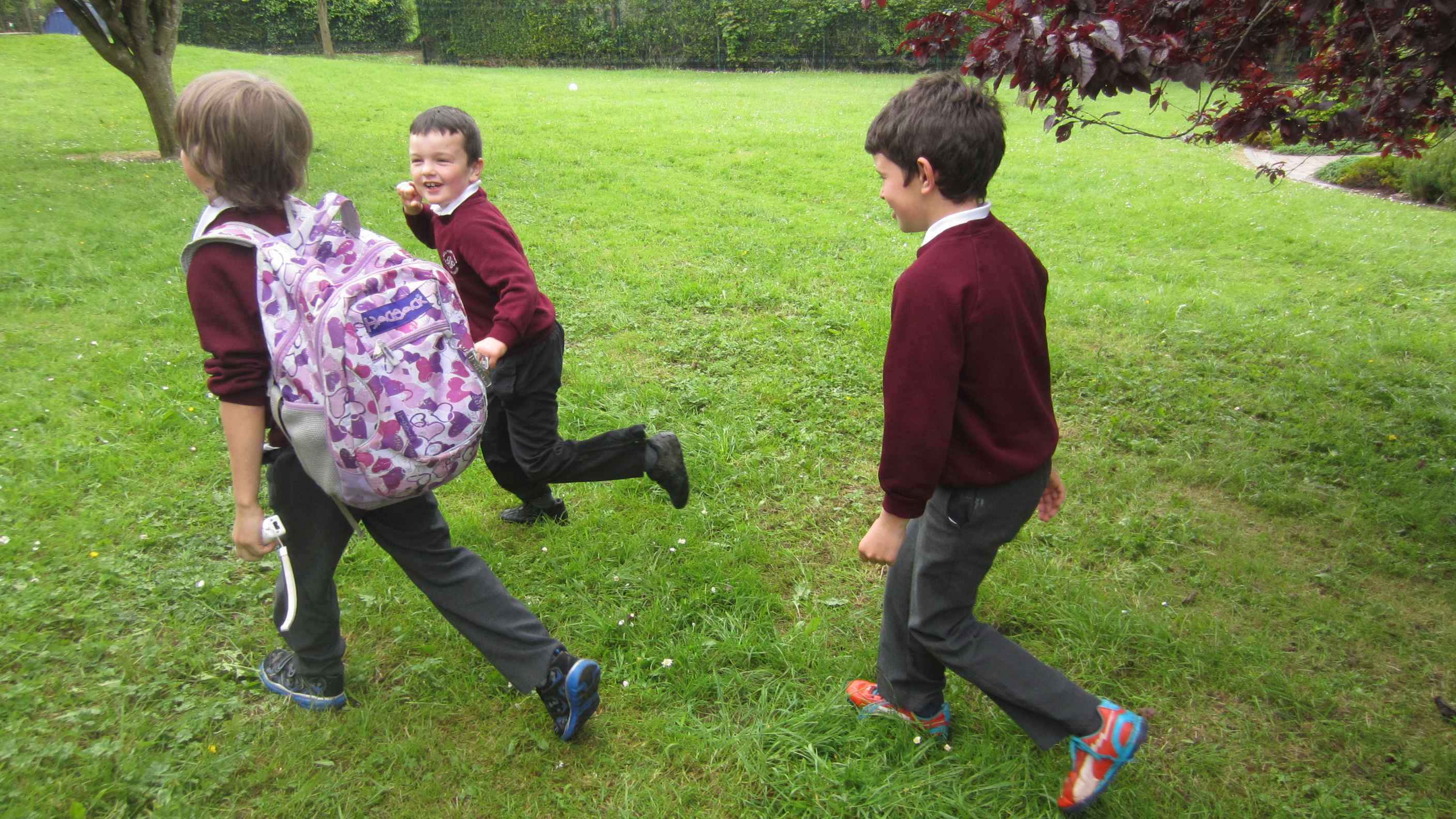
Robin also explained that to collect the data the children needed to hold the Wii remote in their hand and carry a small computer in a backpack when they moved / ran. Also with the use of a GPS tracker we could collect location data as well. Before the children went outside Robin logged all their names into the computer to assign them a colour of their choice which would mark their particular running data.
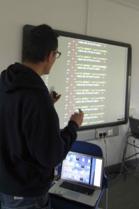
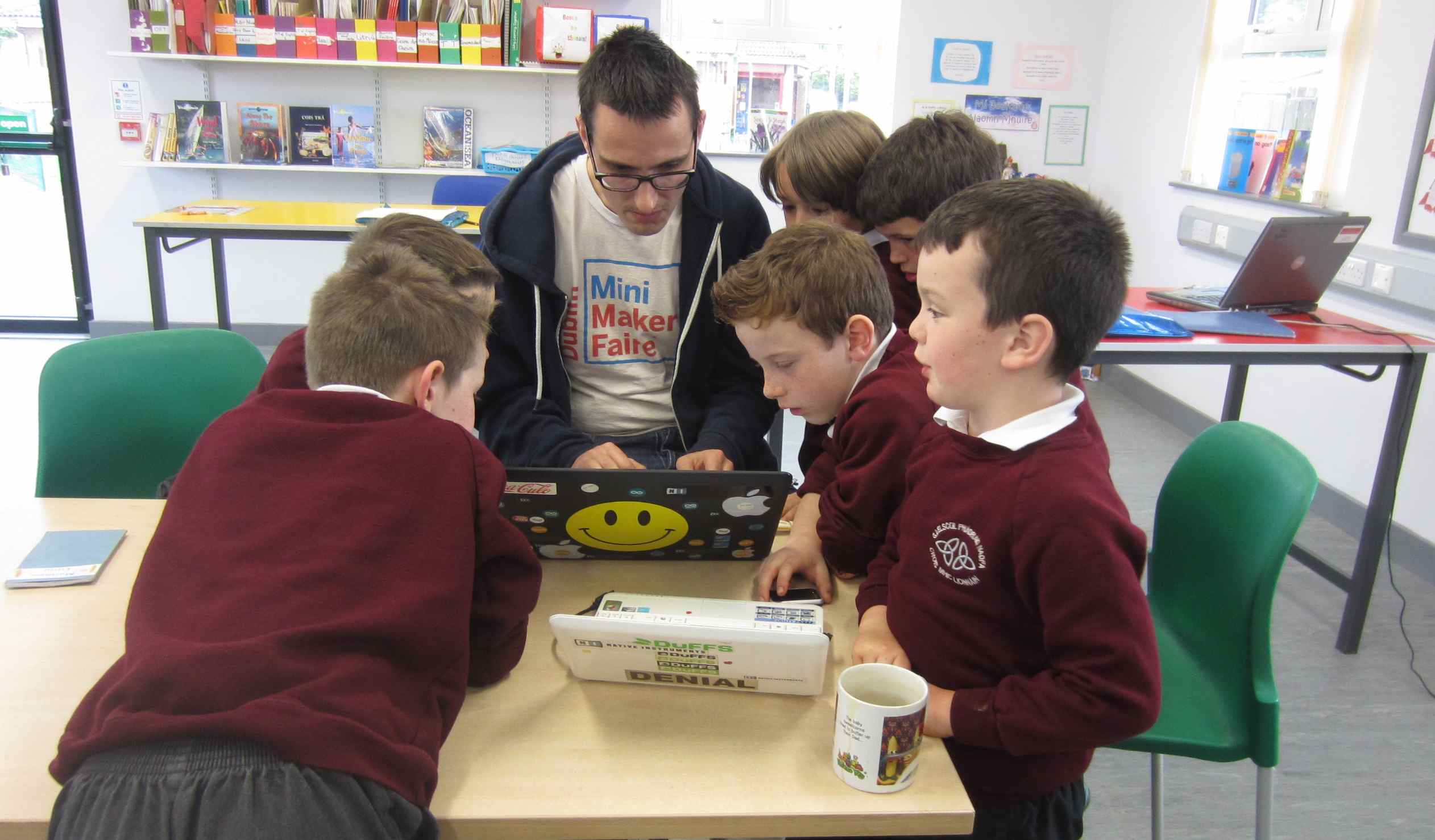
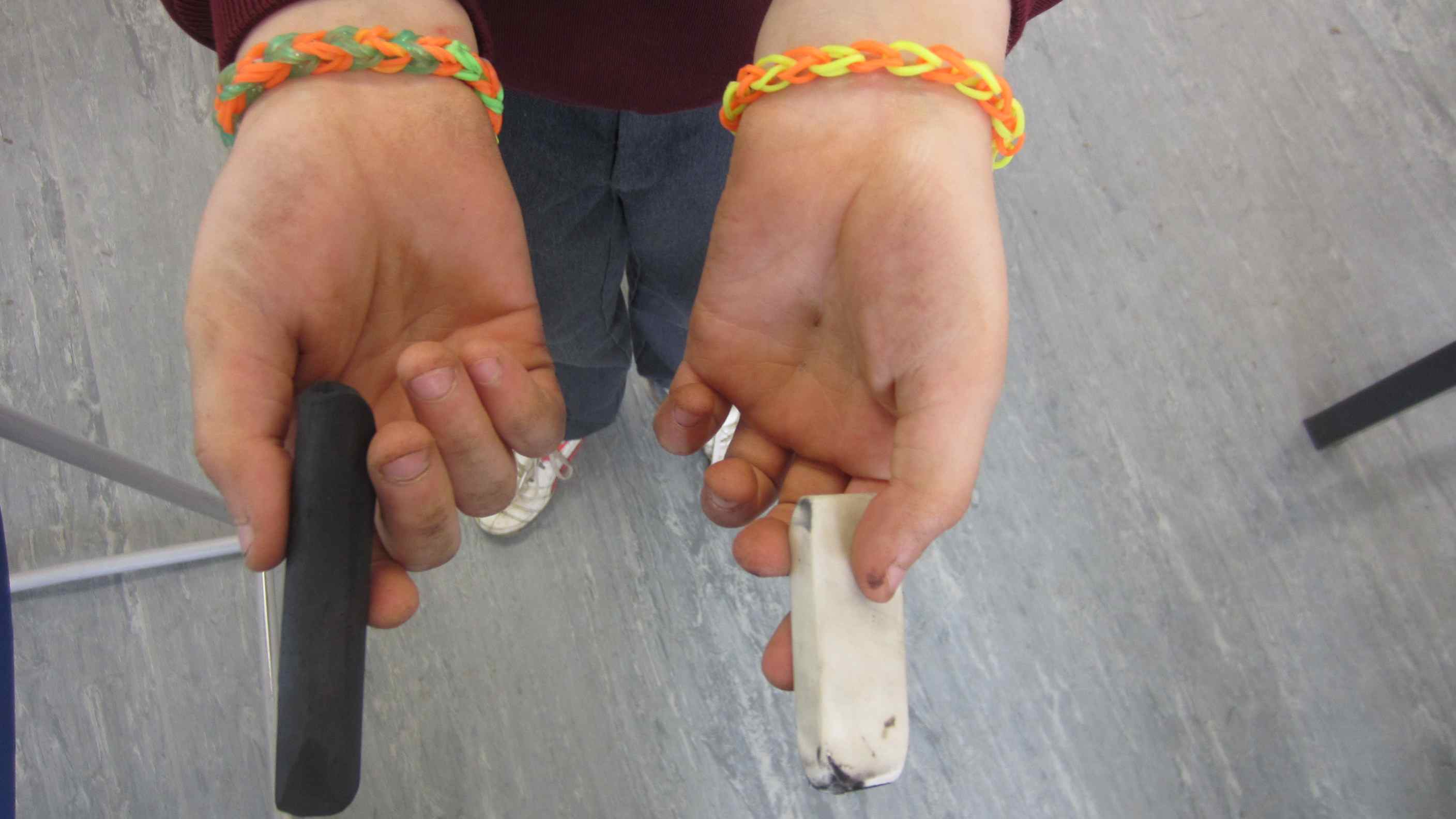
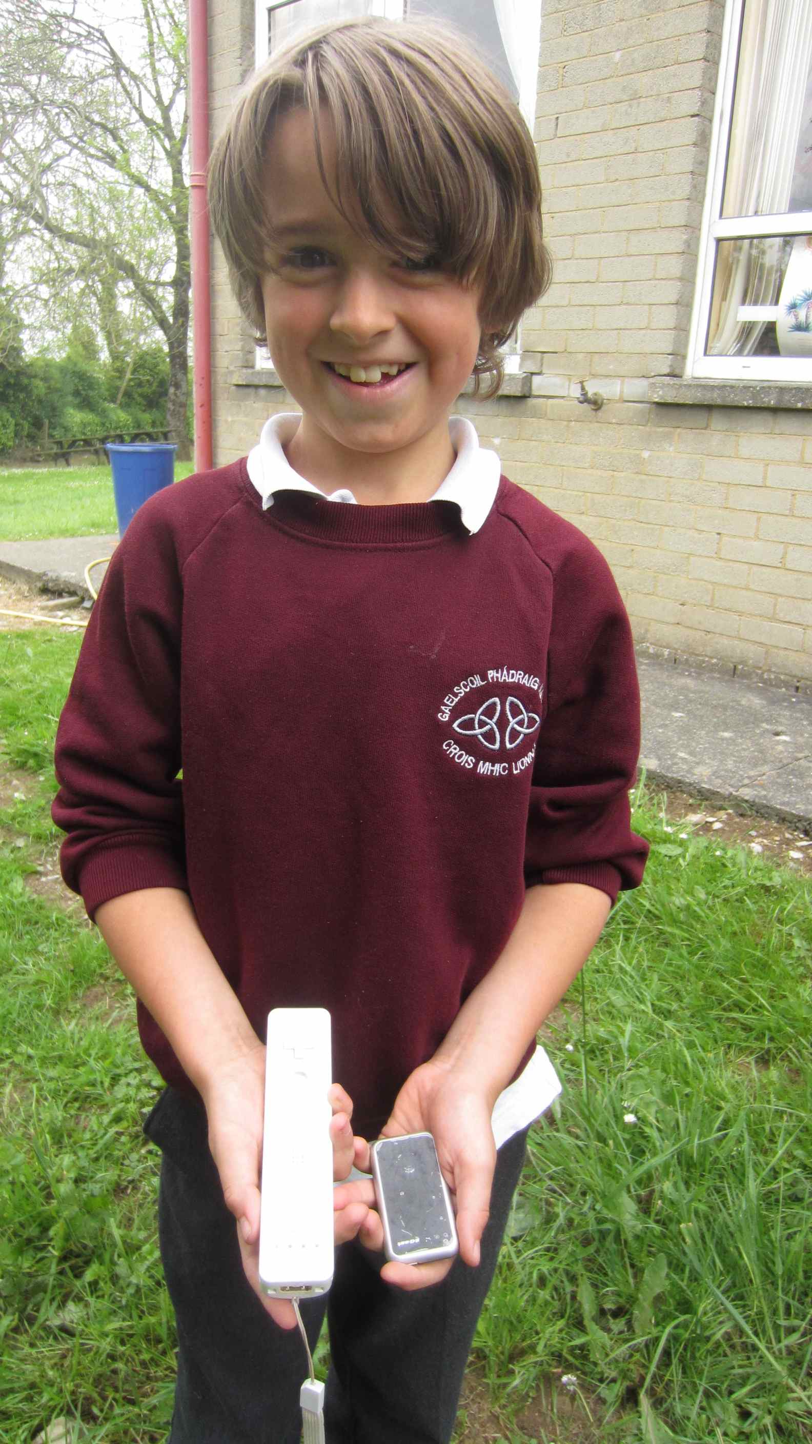 Luca shows what we used to collect the running data (information): a Wii Remote Controller and GPS tracker.
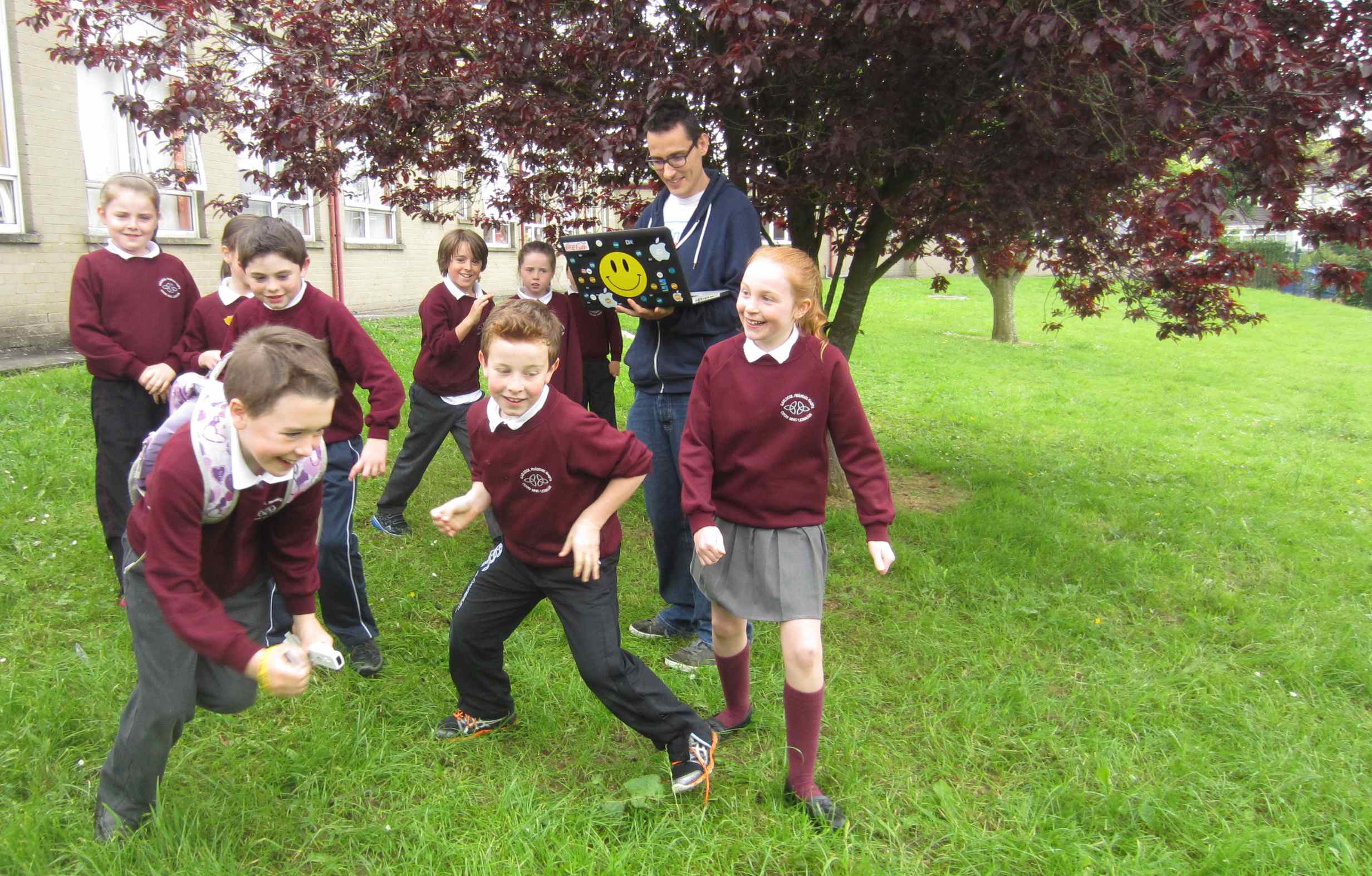
It was decided that each child would make a run then pass on all the equipment to the next child like a running relay…….
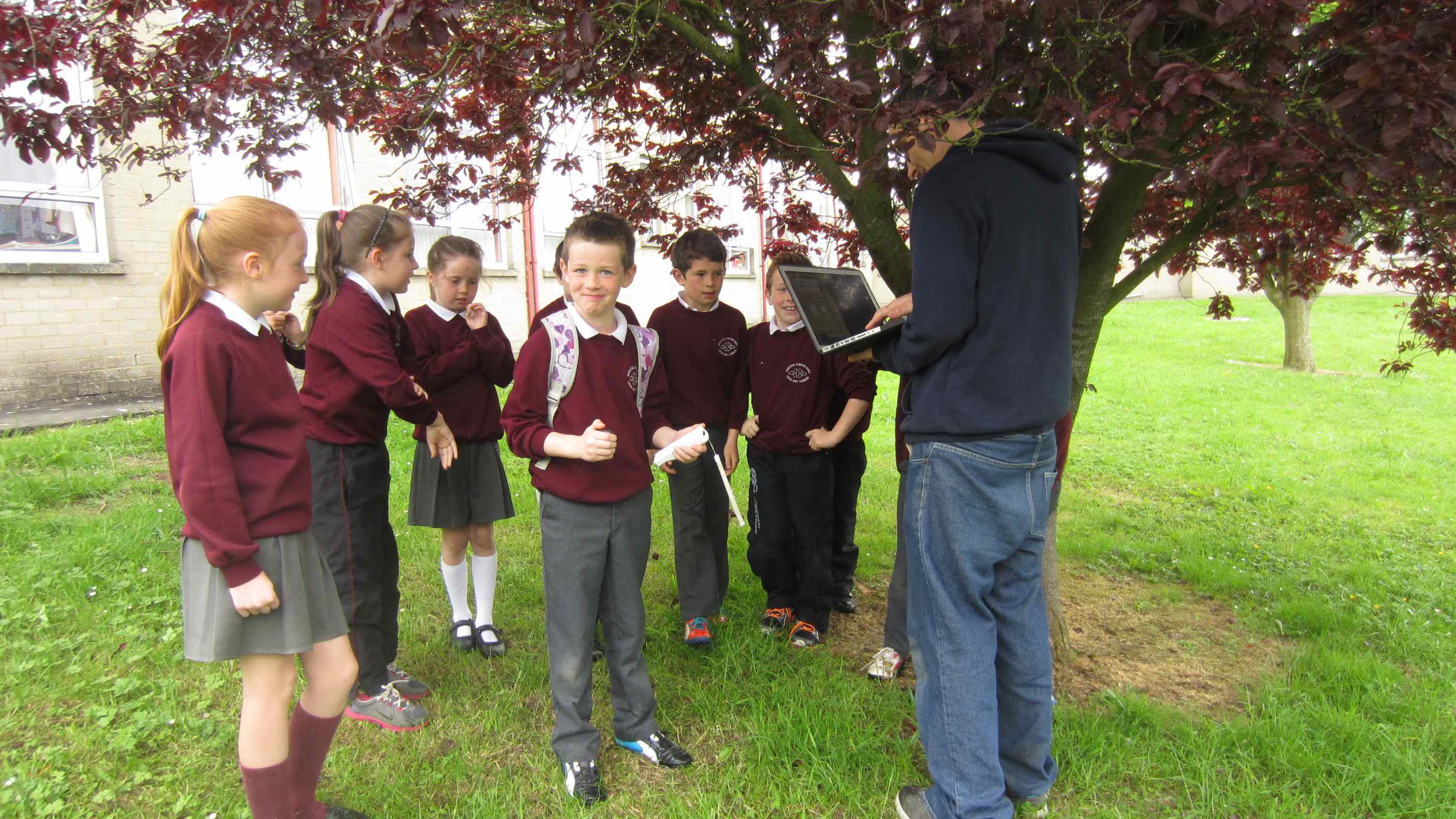
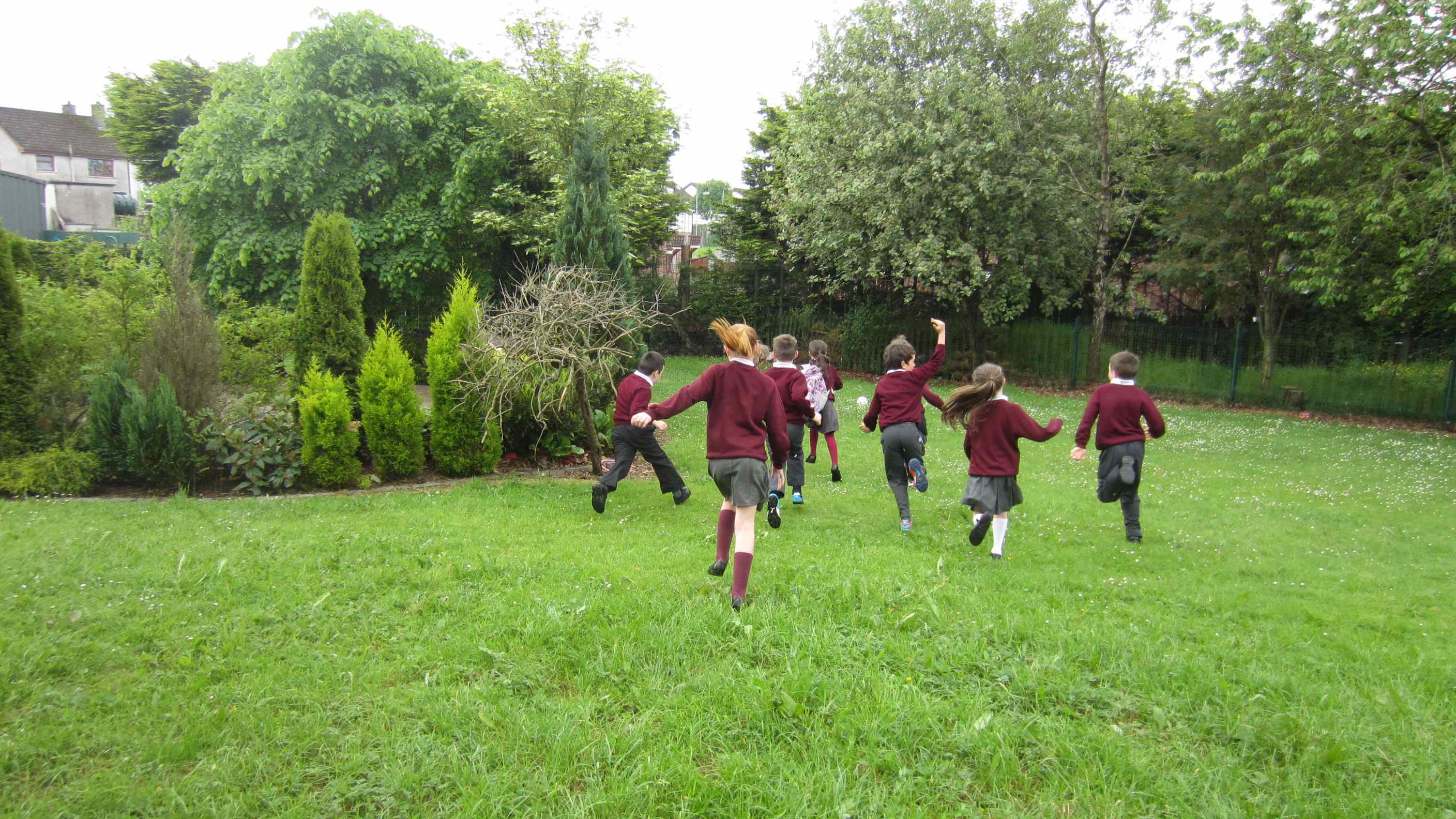
When Finn took off for his run he was accompanied by lots of children cheering him on with great excitement……


Great runs were made by all the children…..
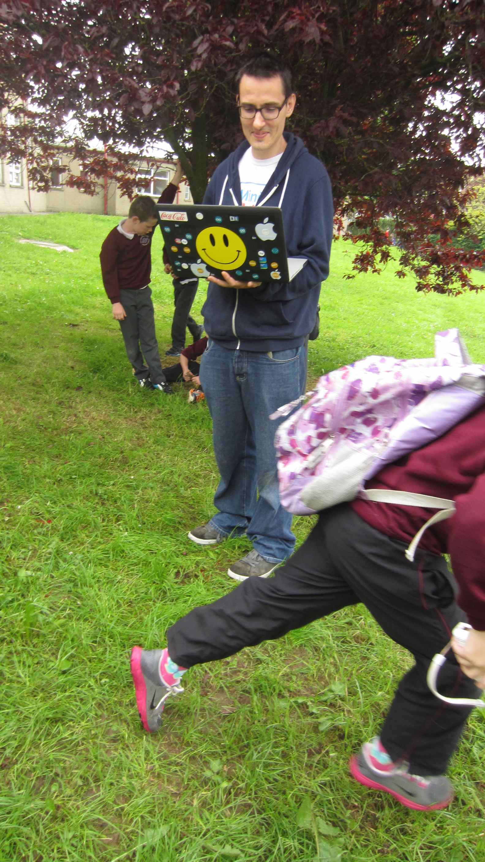
After all the runs were done, Robin checked the small computer in the back pack to se if the data had been collected….. unfortunately the really fast movement had knocked the programme off and so we came up with the idea of padding the bag out with jumpers to stop the computer knocking around when the person moved…
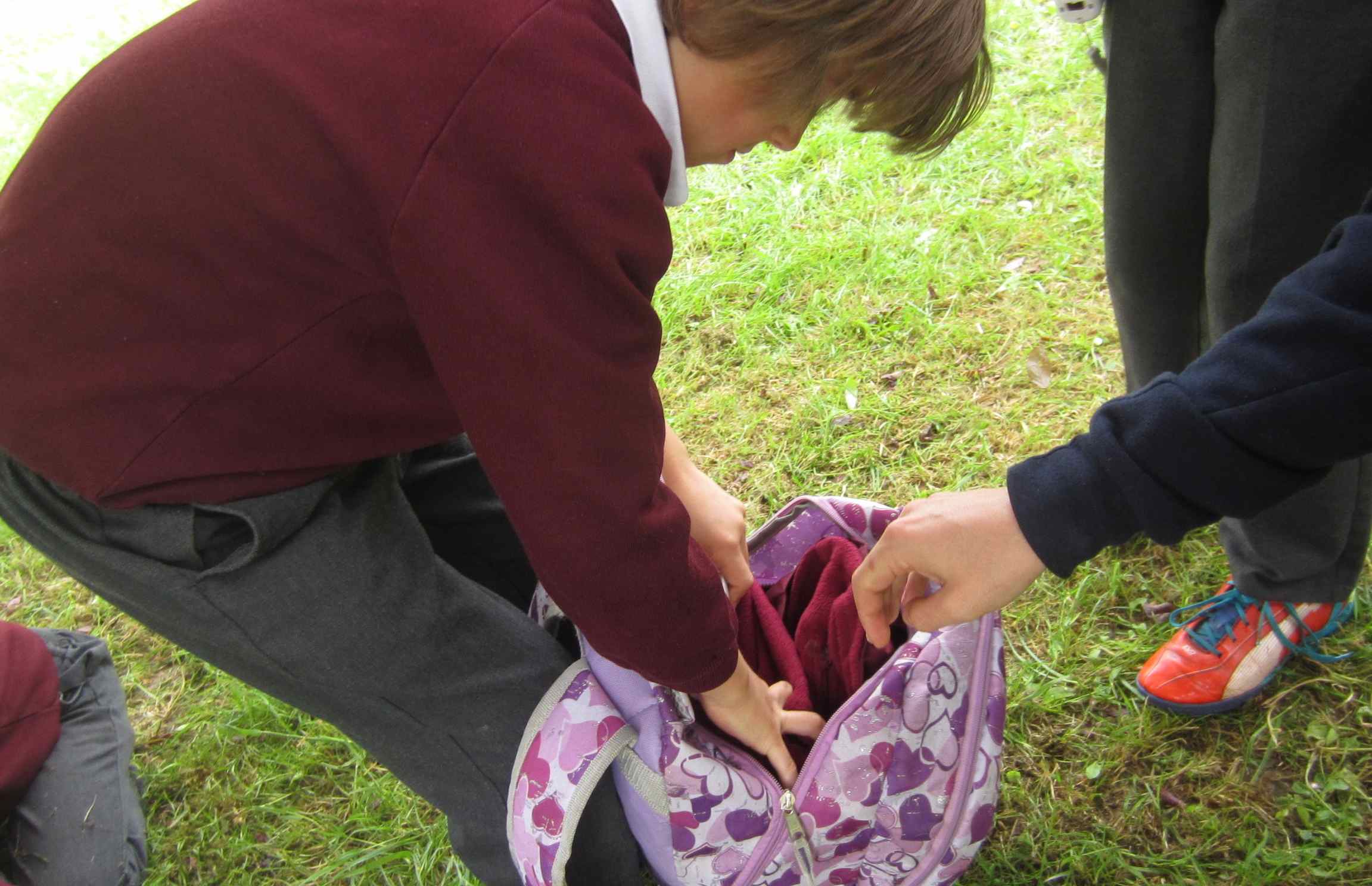
This time however, the children took turns to go much slower just in case!

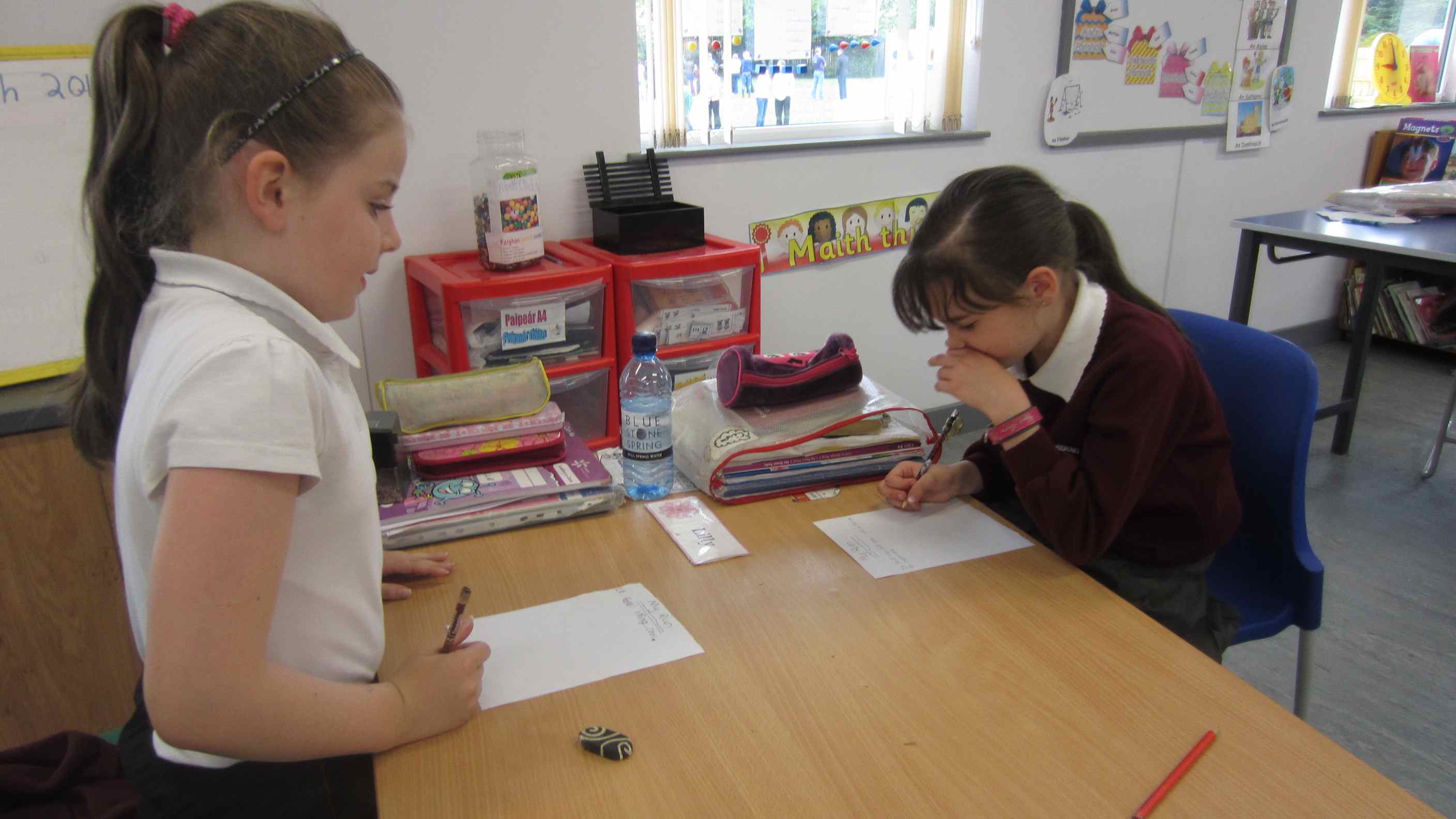
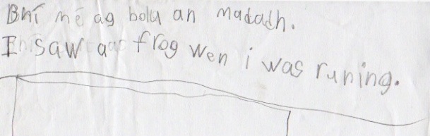
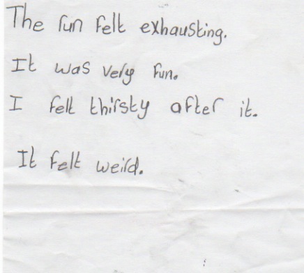
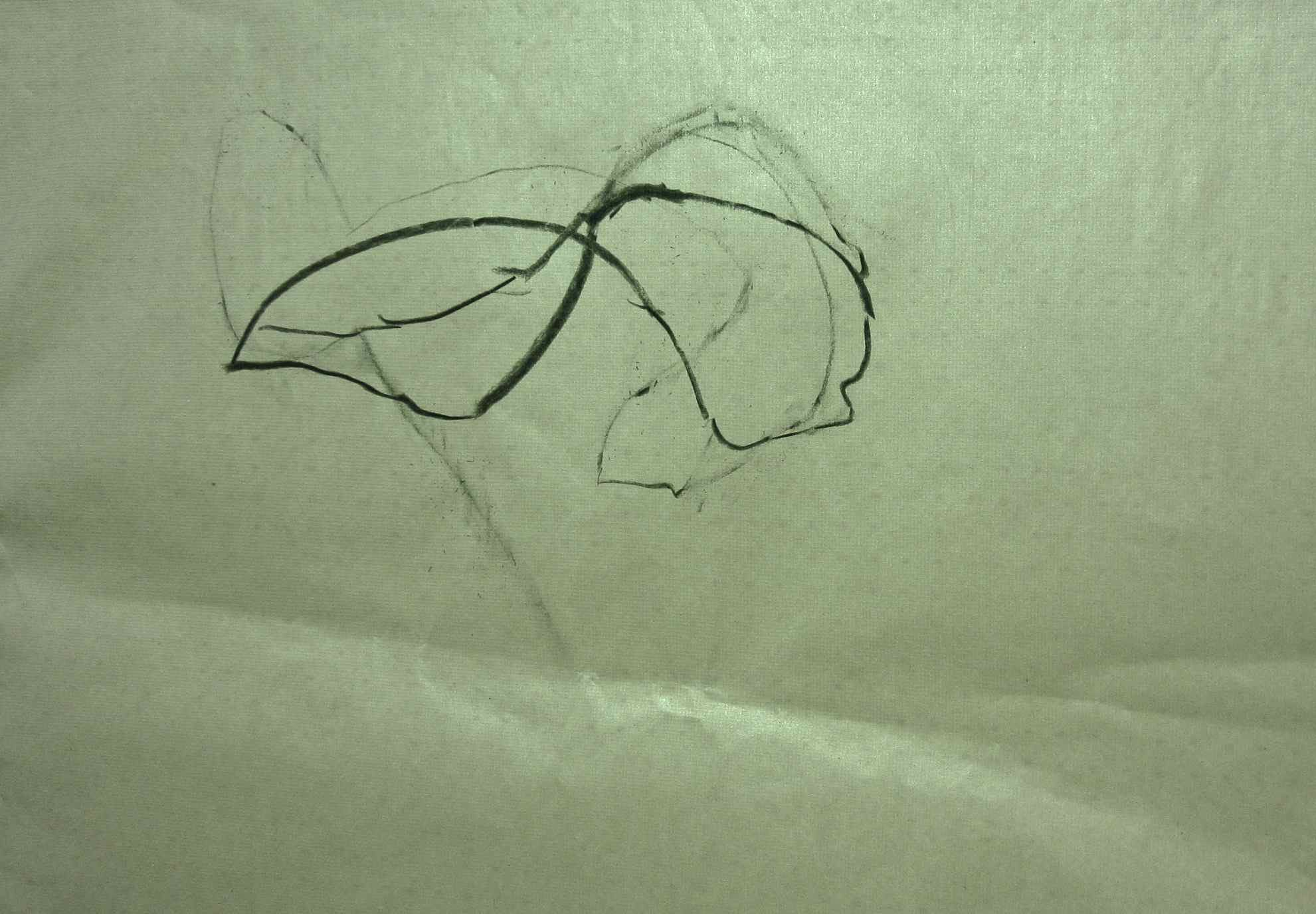
While the data was being prepared, I asked the children to write some words and also to draw a picture to describe their run; how it felt to them, being outside running and moving.

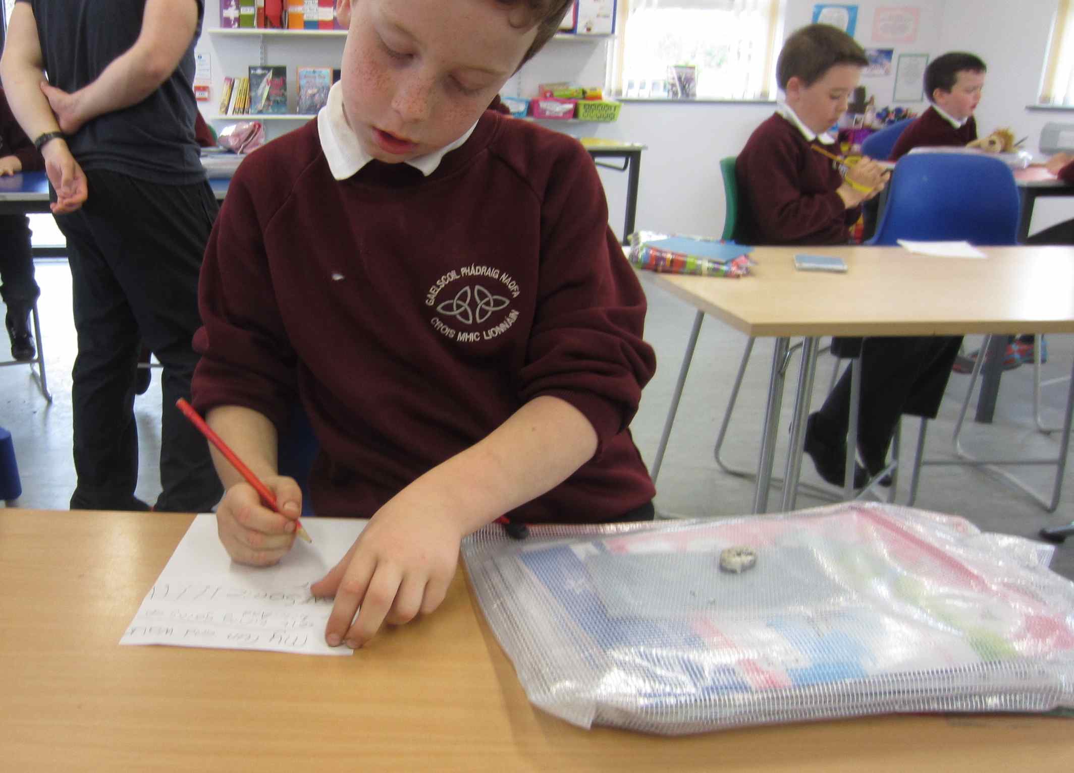


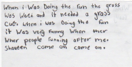

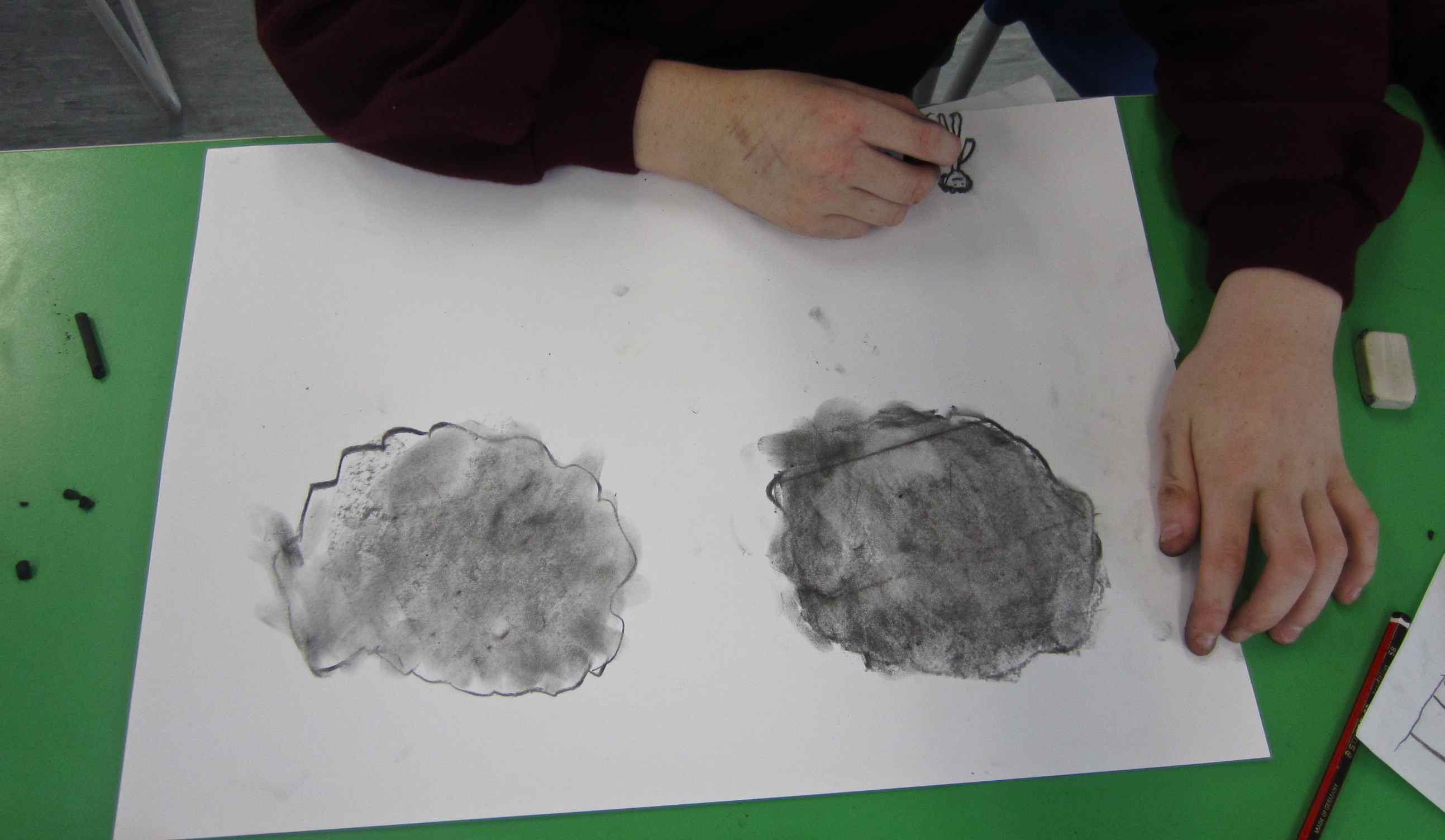
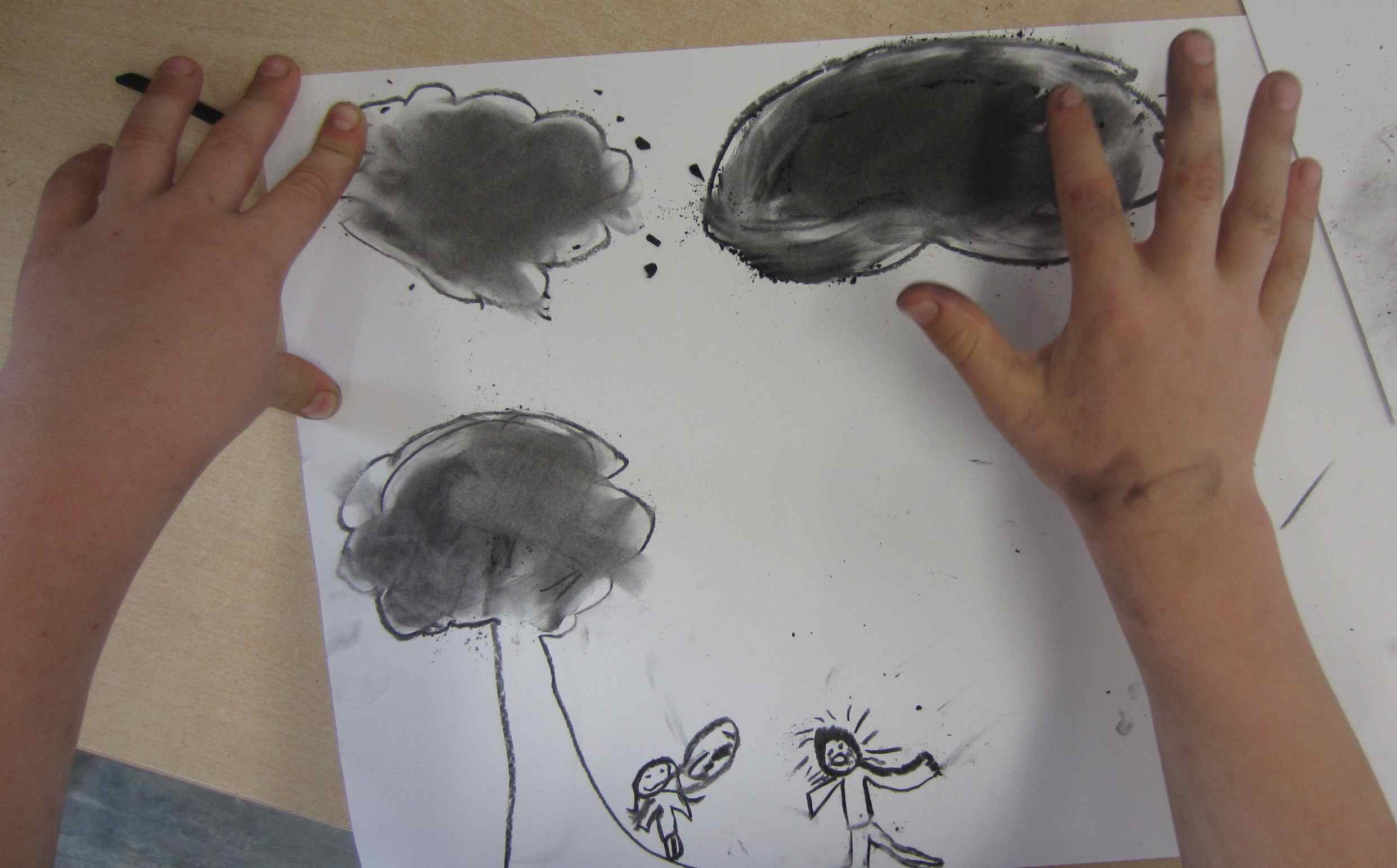
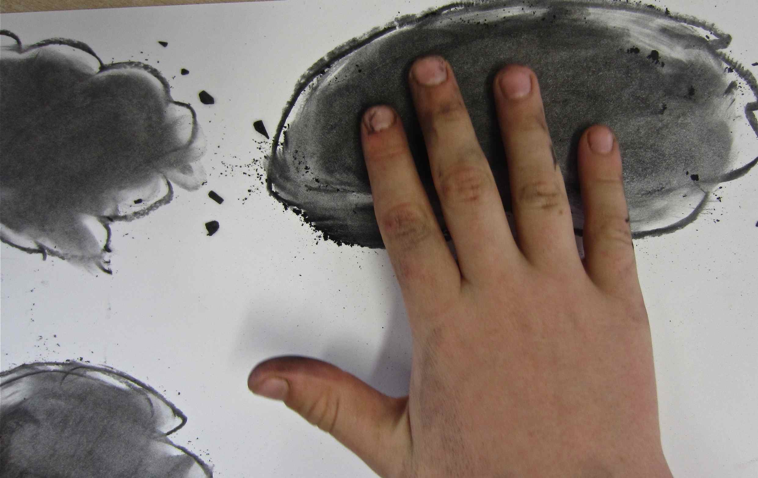
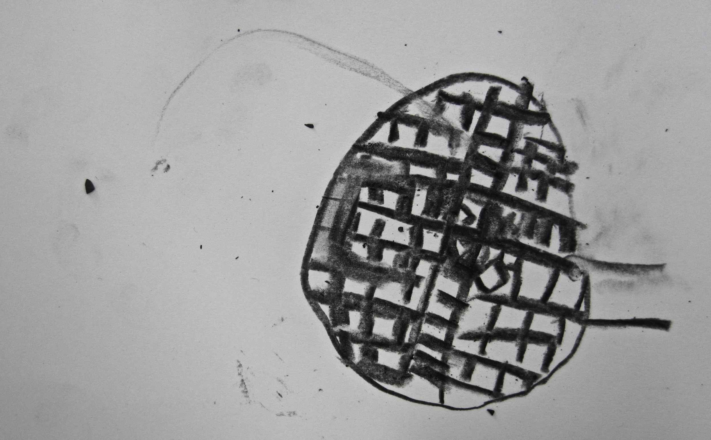
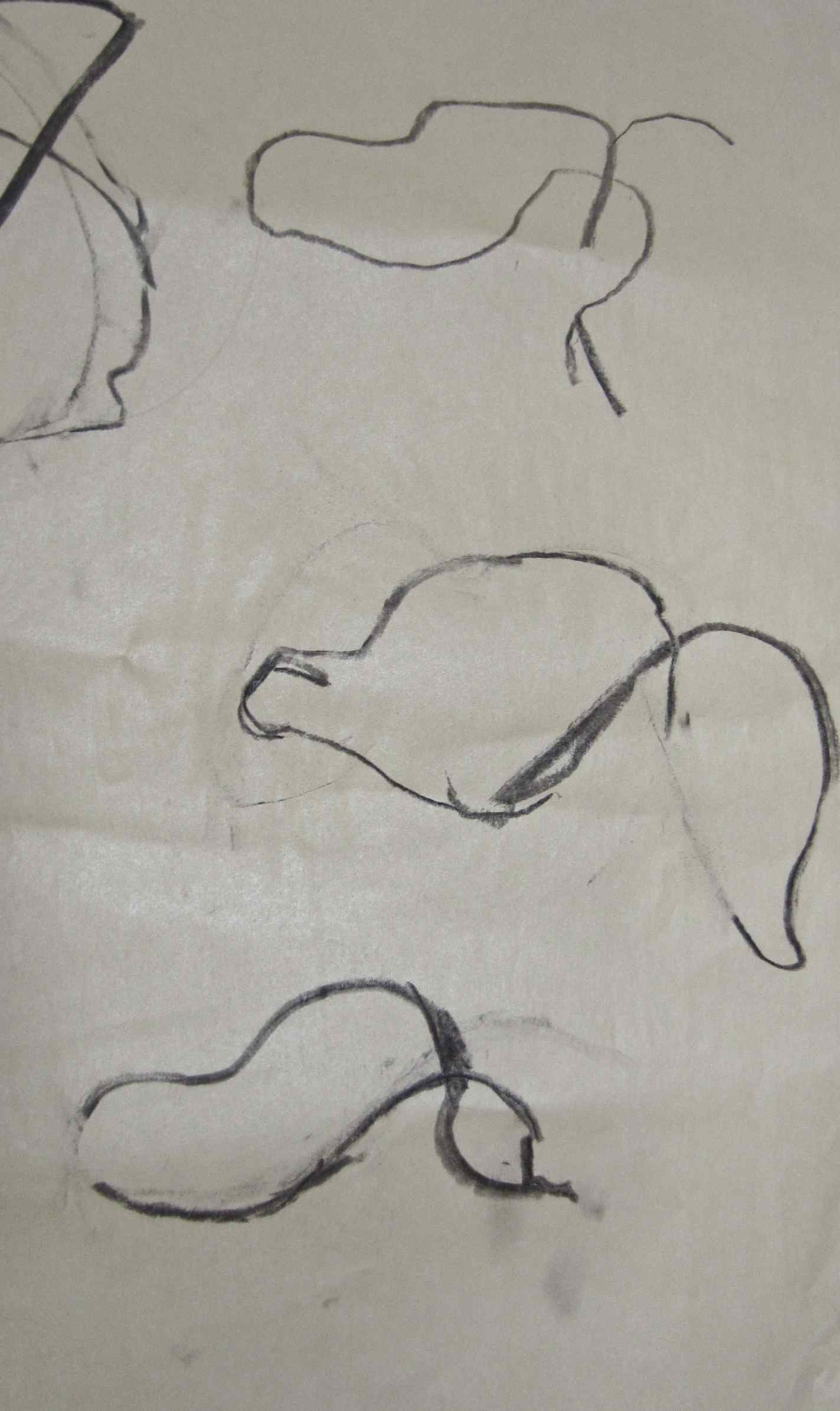
The children drew using charcoal, in response to their run.


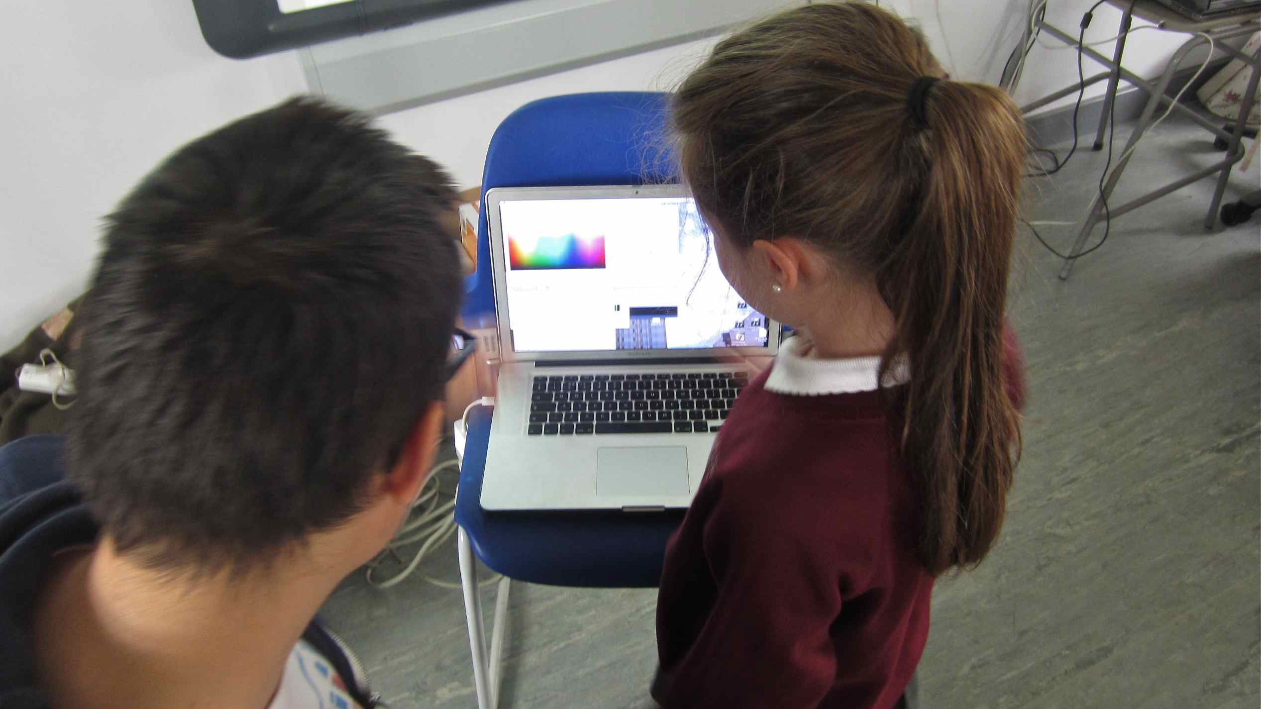
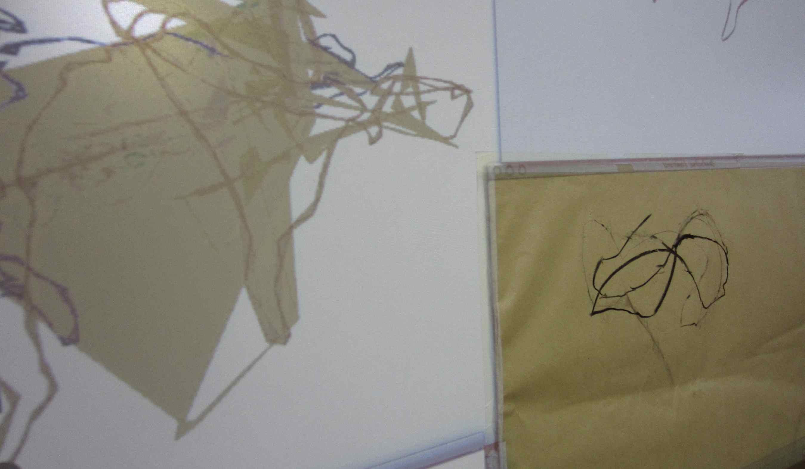
When we looked at the DIGITAL DATA we saw lots of runs marked in different colours.
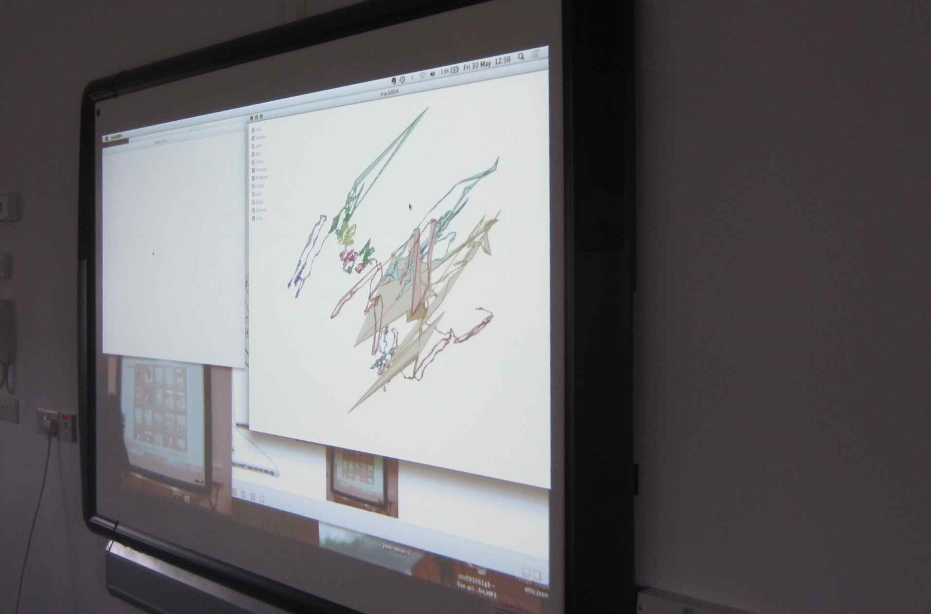

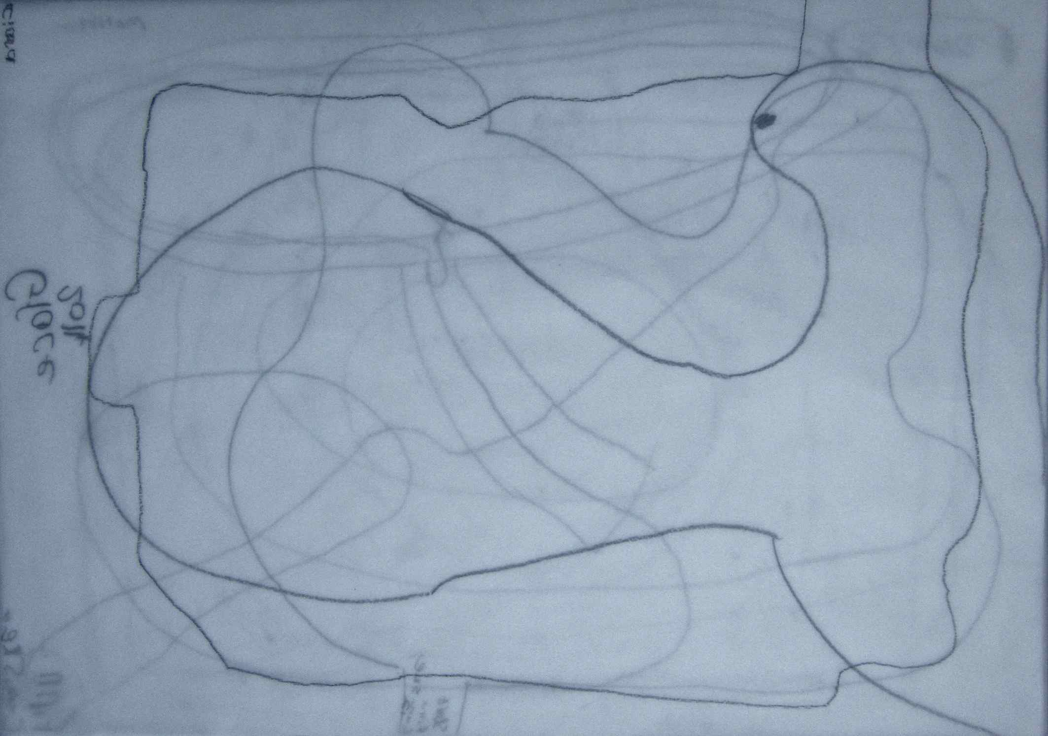
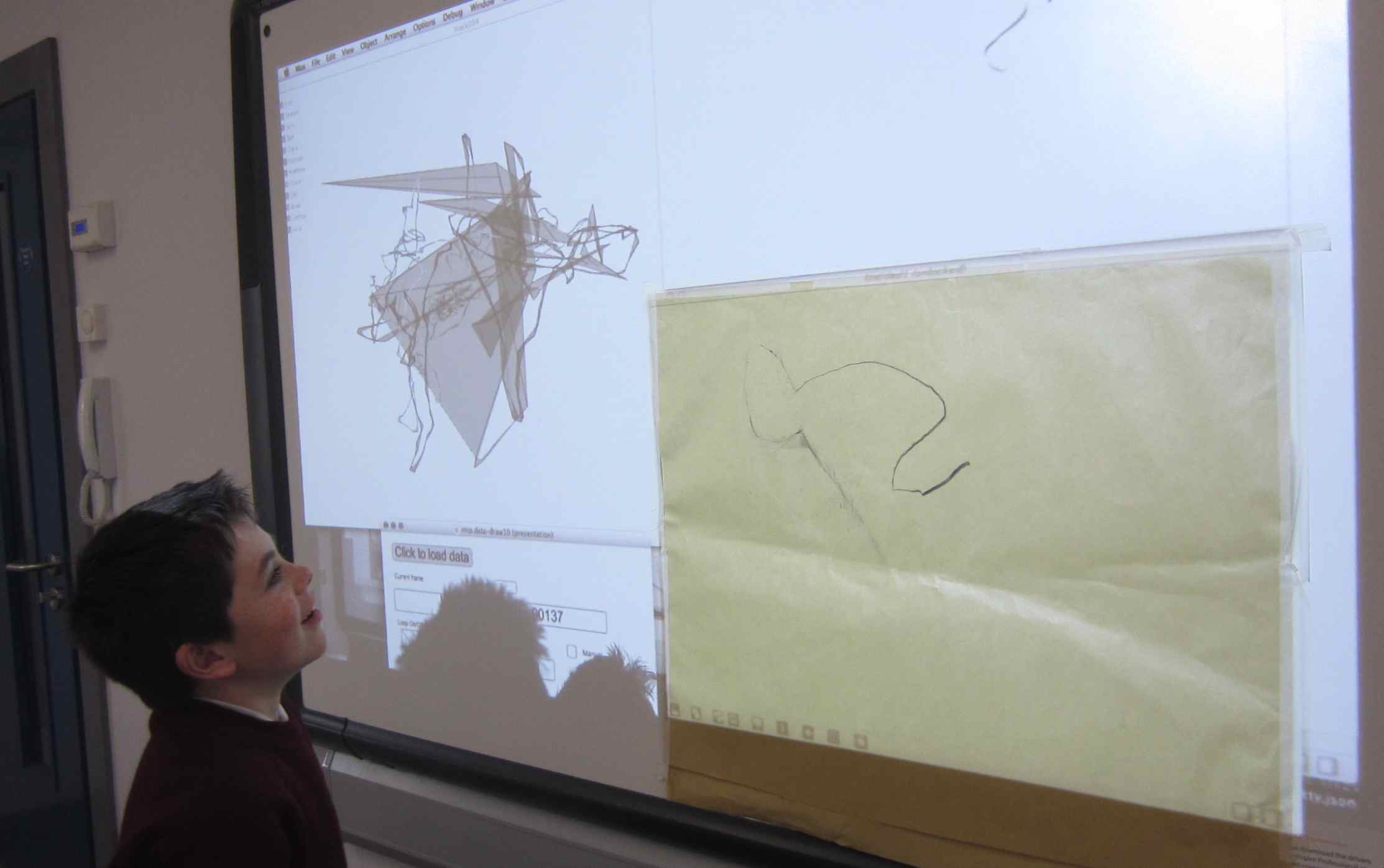
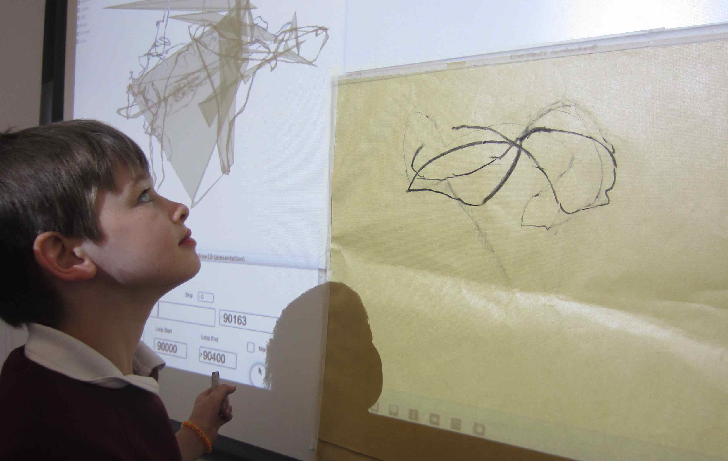
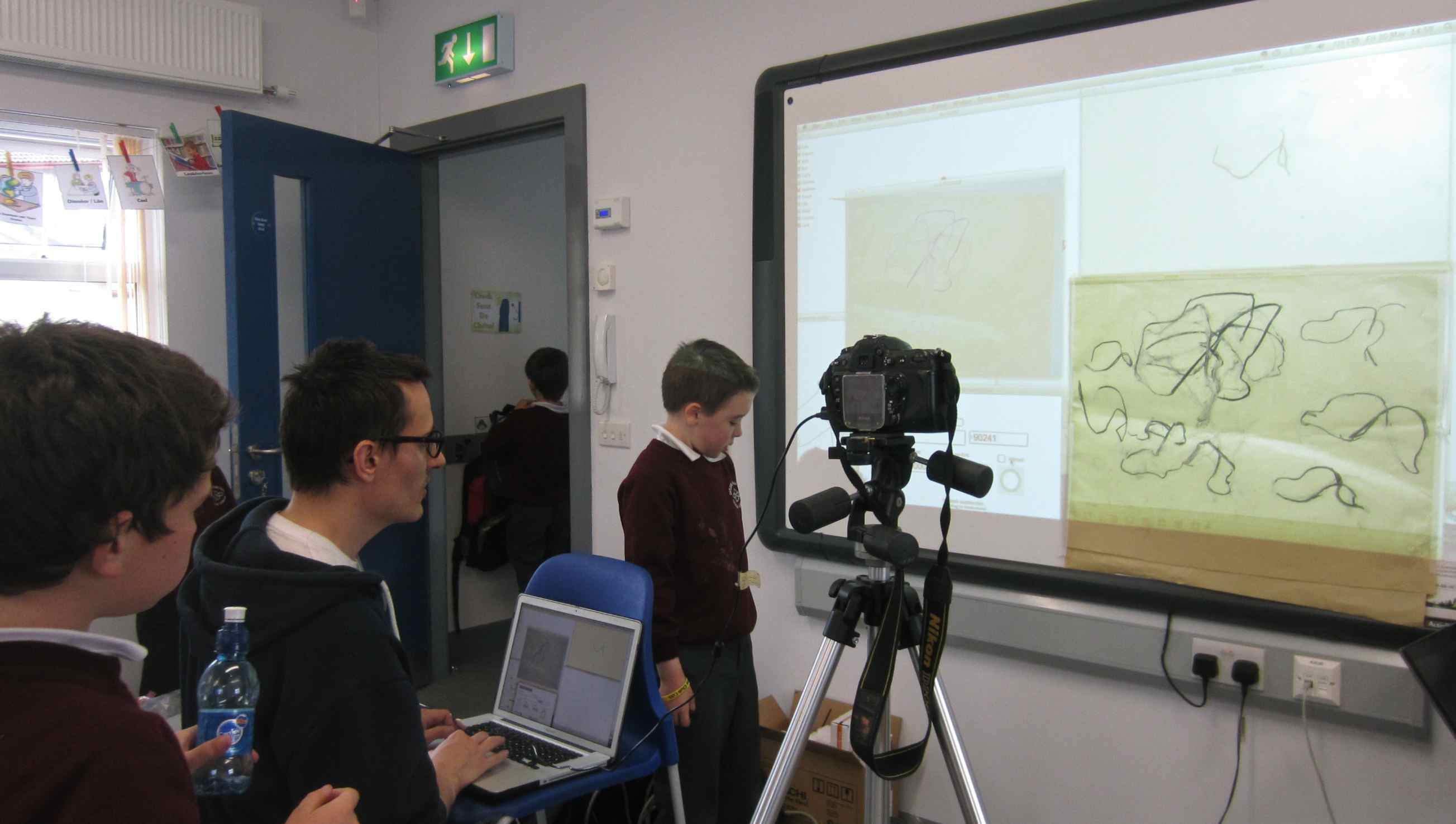
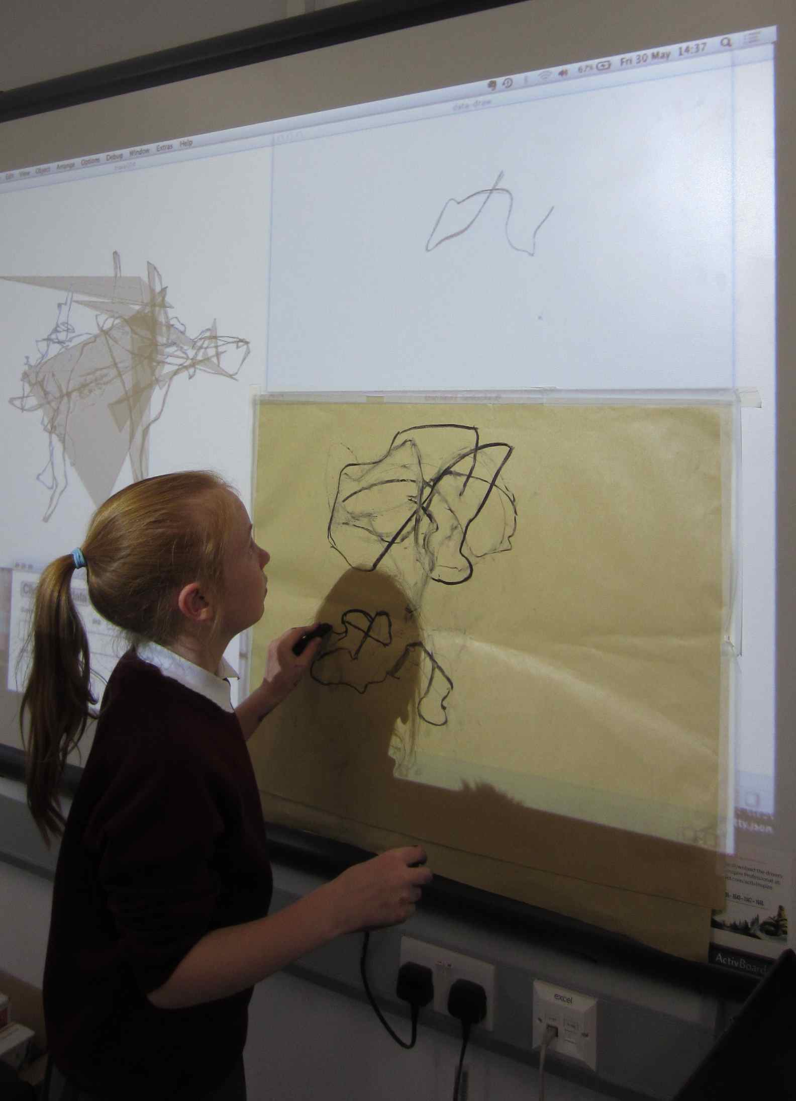
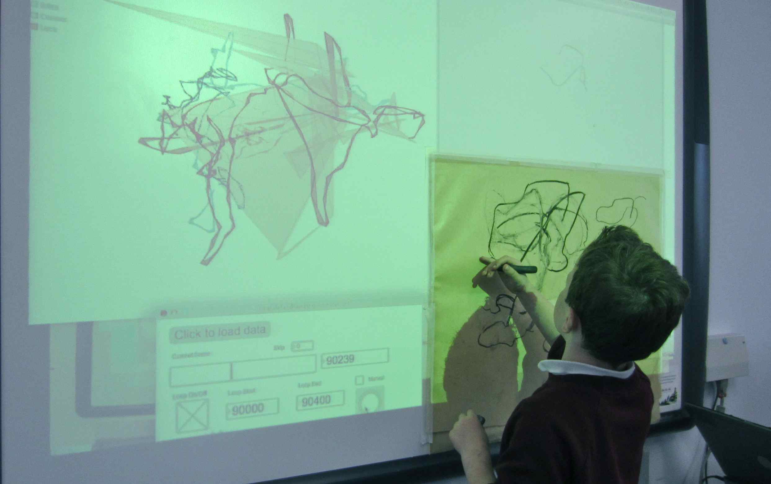
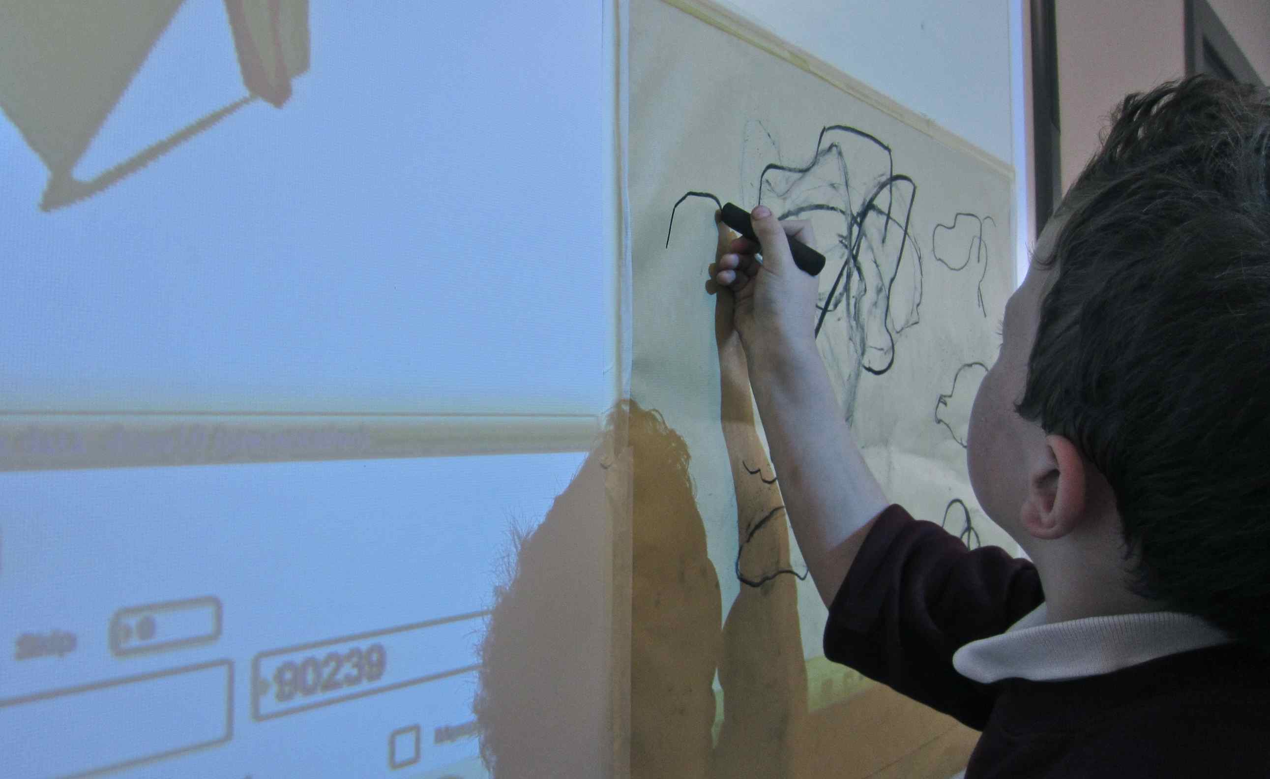
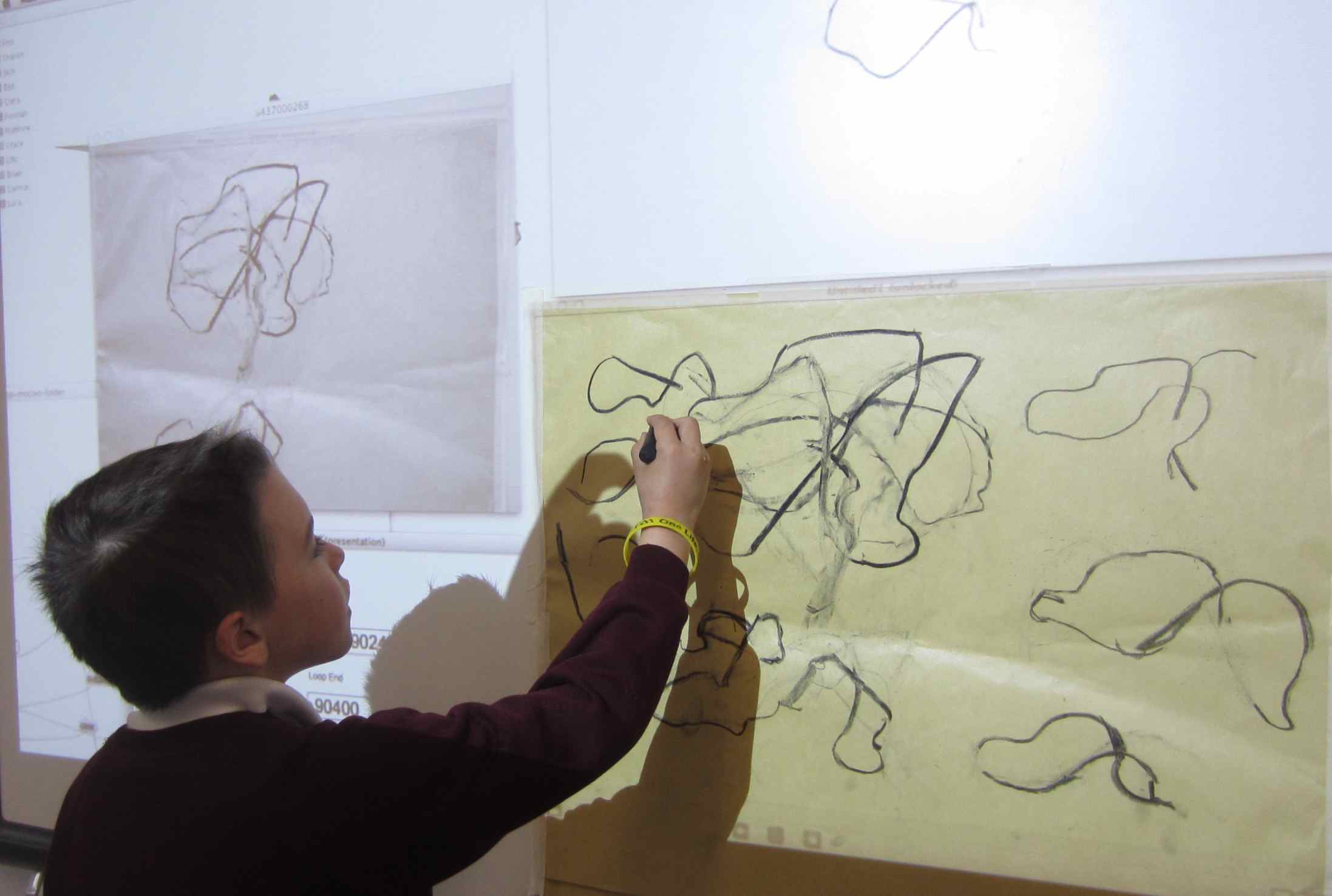
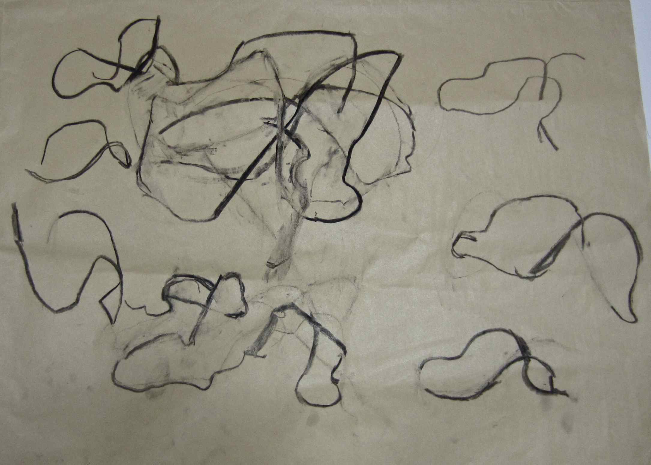
Just as Robin and I had RE-INTERPRETED the digital data from my own runs, (by making a drawing animation) we thought we would try this idea here and invite the children to make a drawing by hand in response to the digital image. We discussed what an animation was… (lots of still images (pictures) joined together to make a sequence).
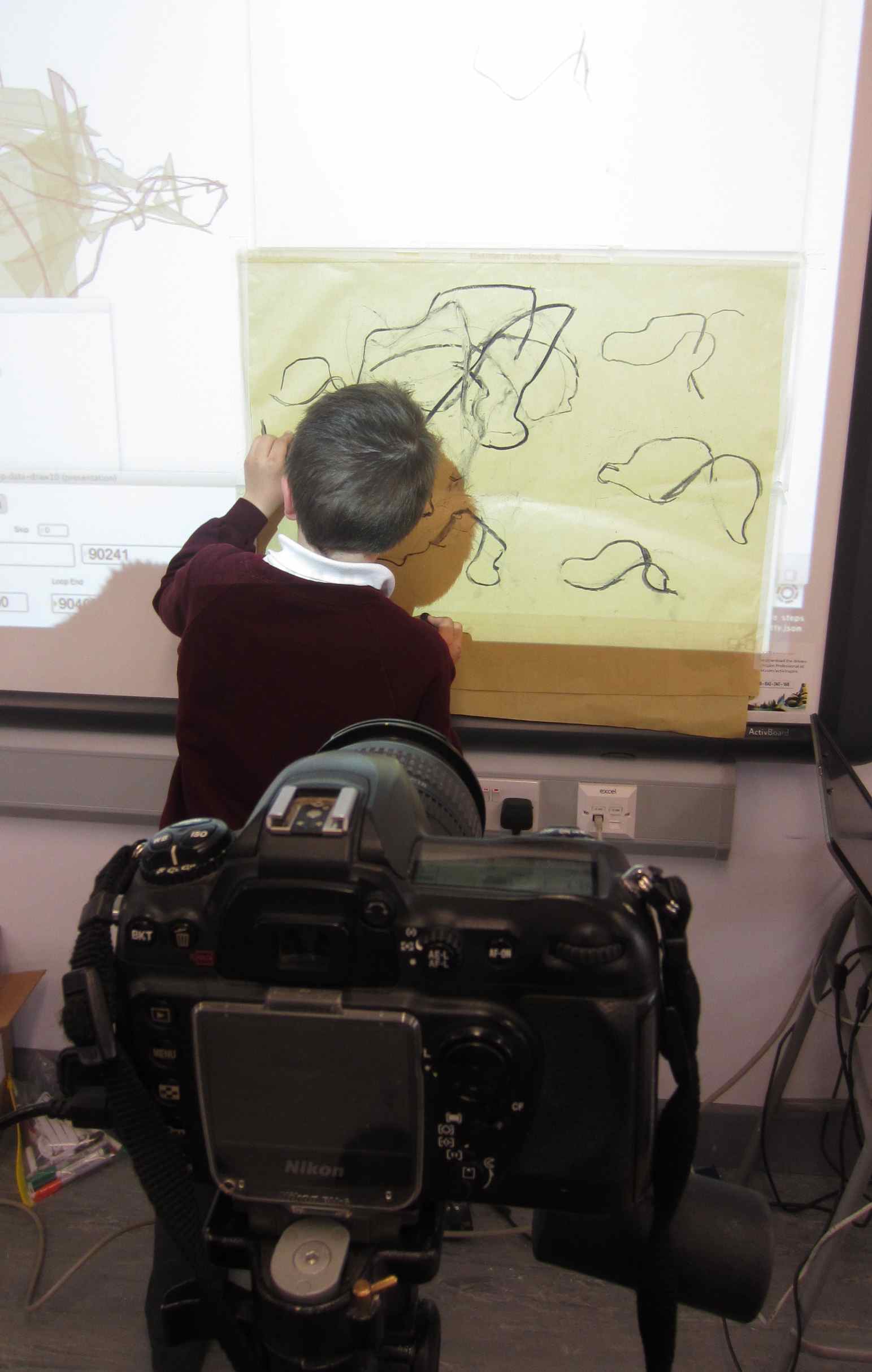
Once again we took it in turns to add something to the drawing AND also at the same time to ERASE (rub away) a little as we went along so the drawing would move and change. We used a large chunk of charcoal and an eraser to do this.


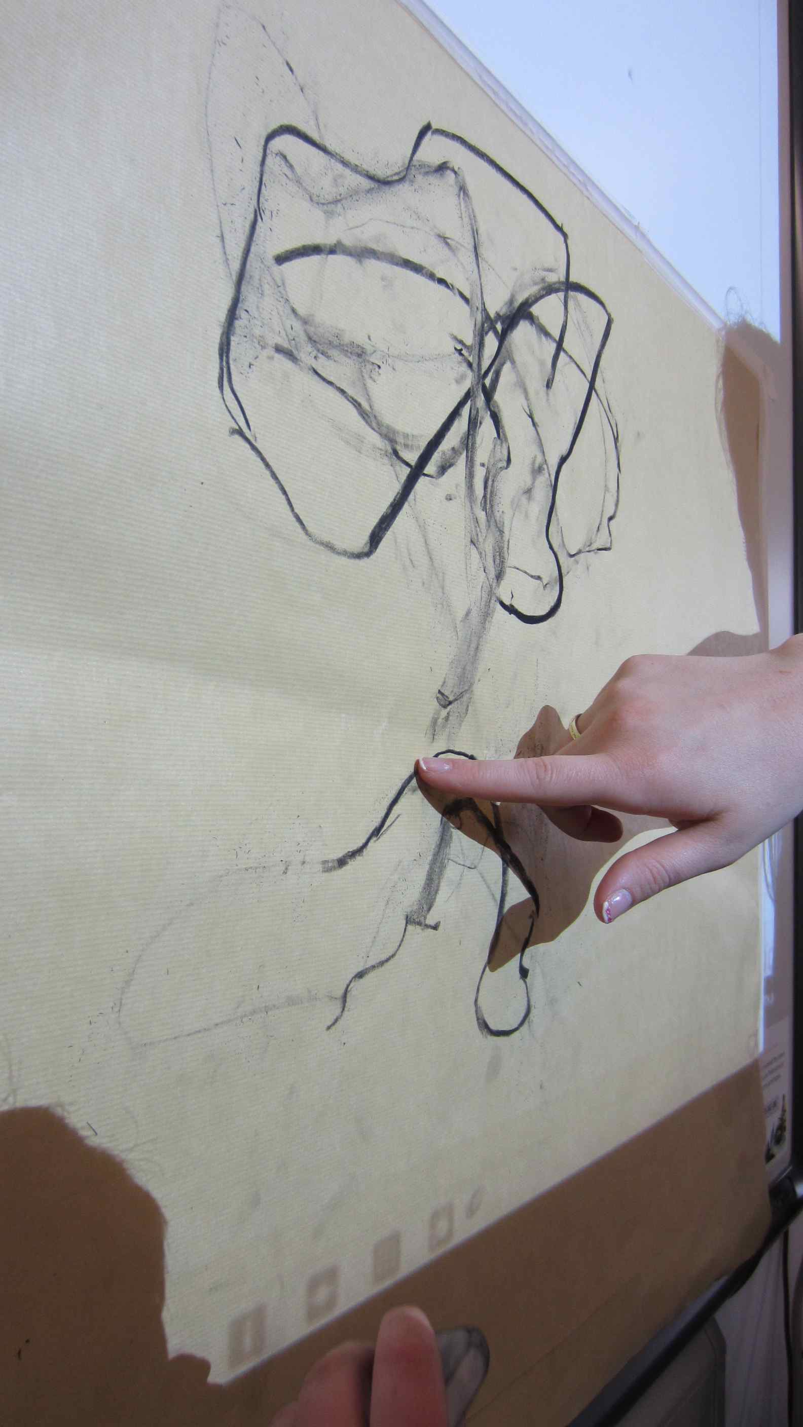
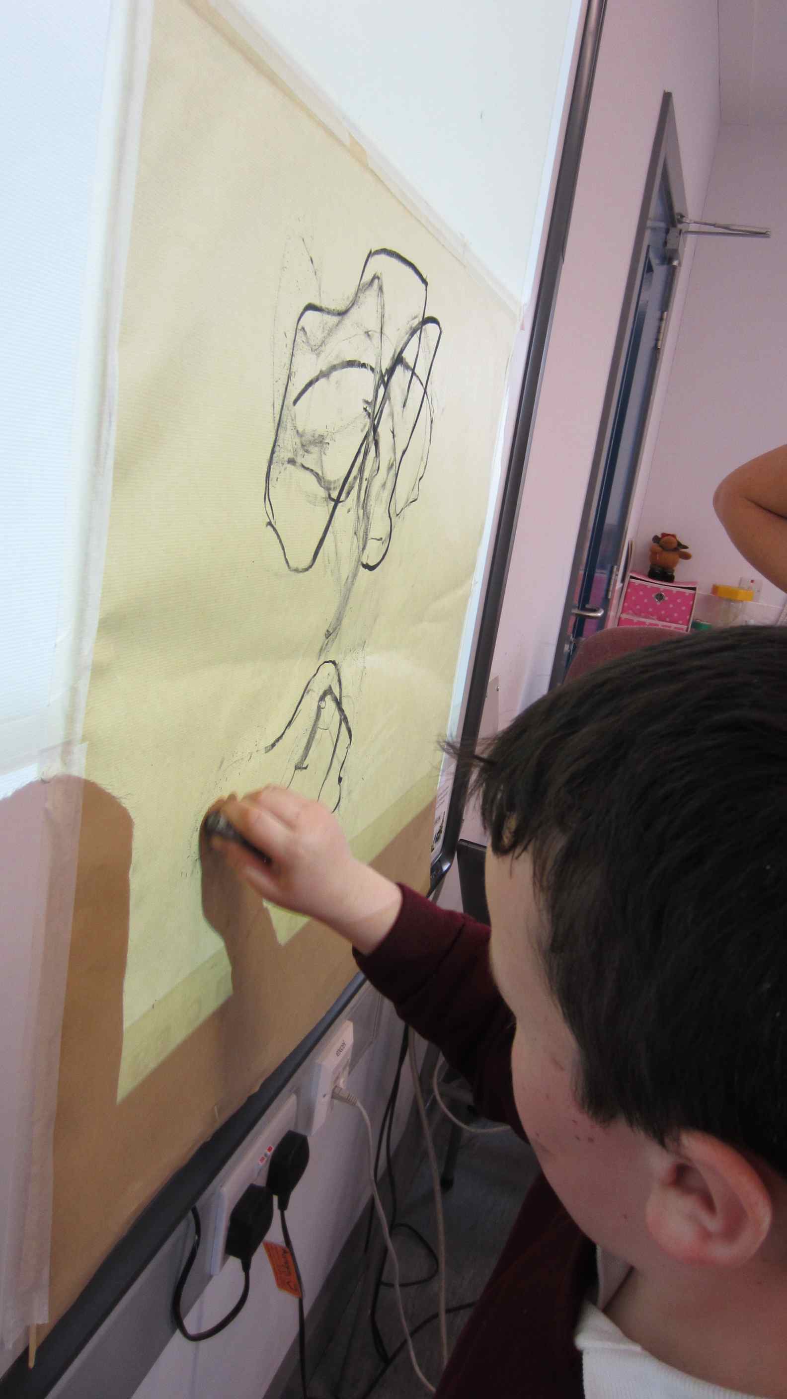
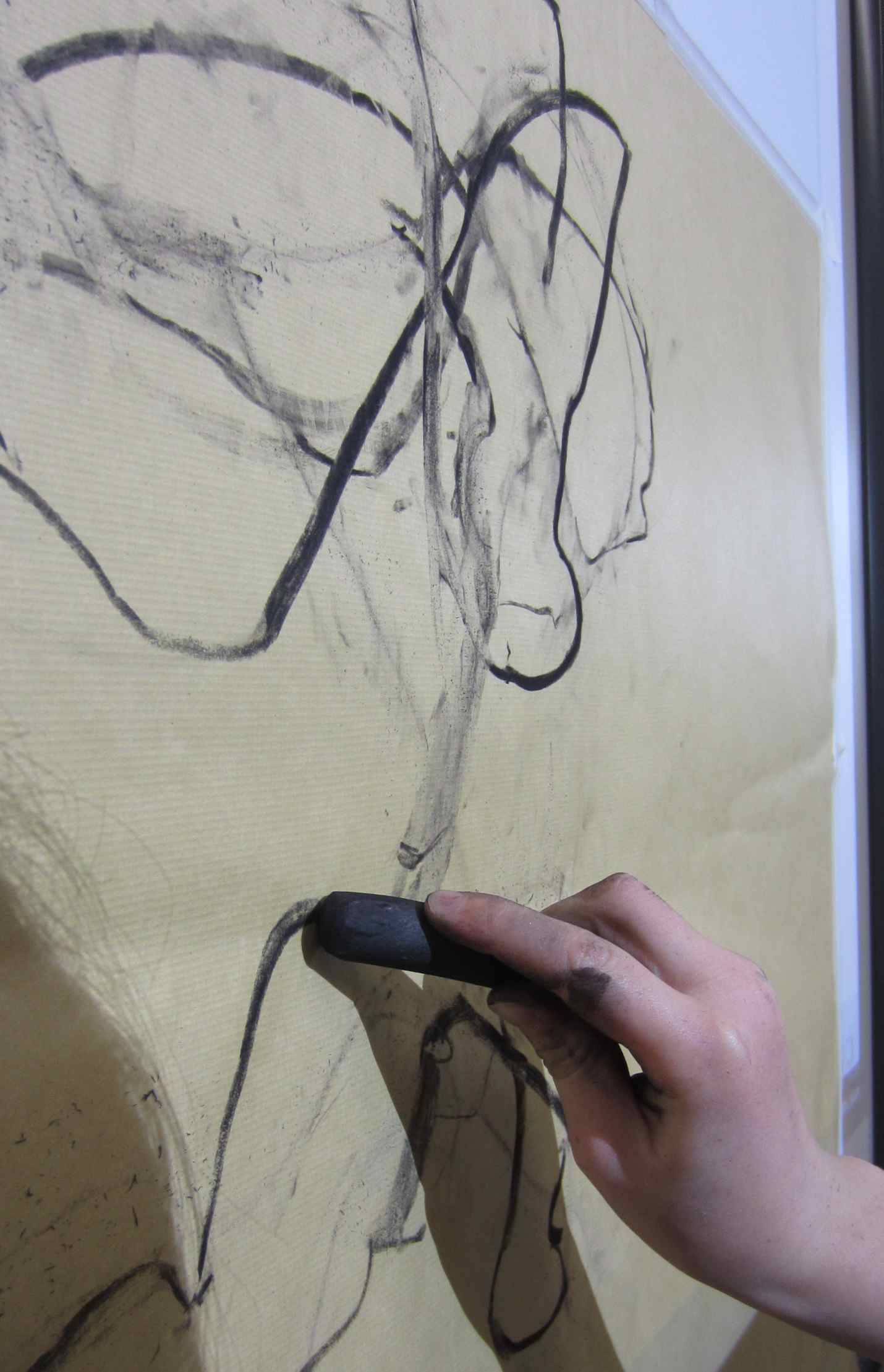

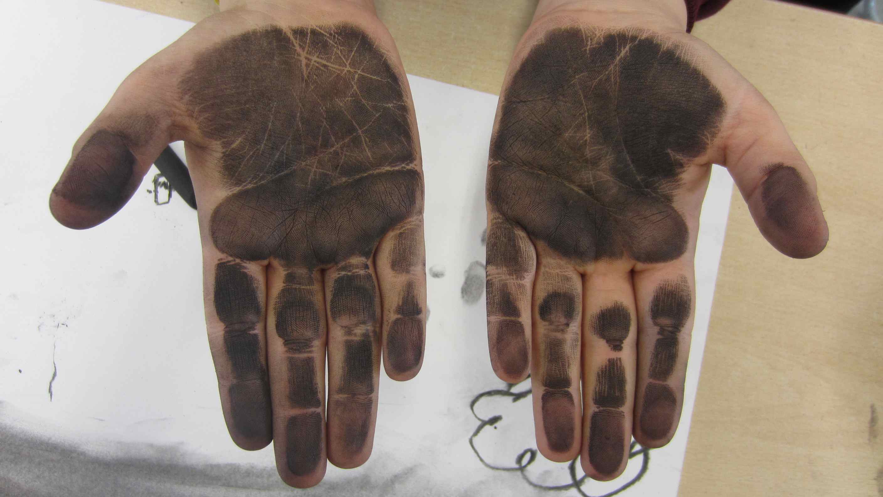
Another kind of mapping had also accidentally been made:
Thank you RANG P4 and Múinteoir Dearbhla for a great day of running and drawing!
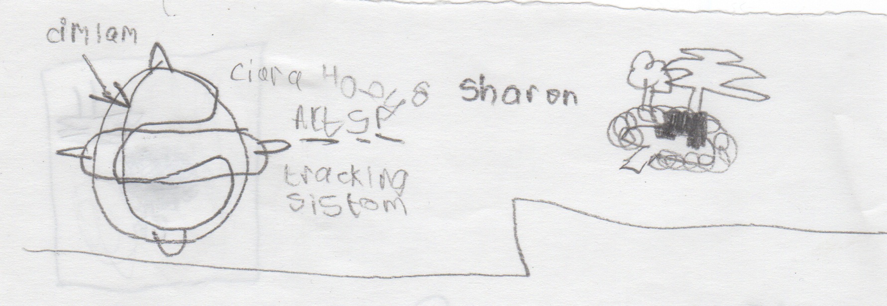
A great drawing to mark the tracking system we explored today!